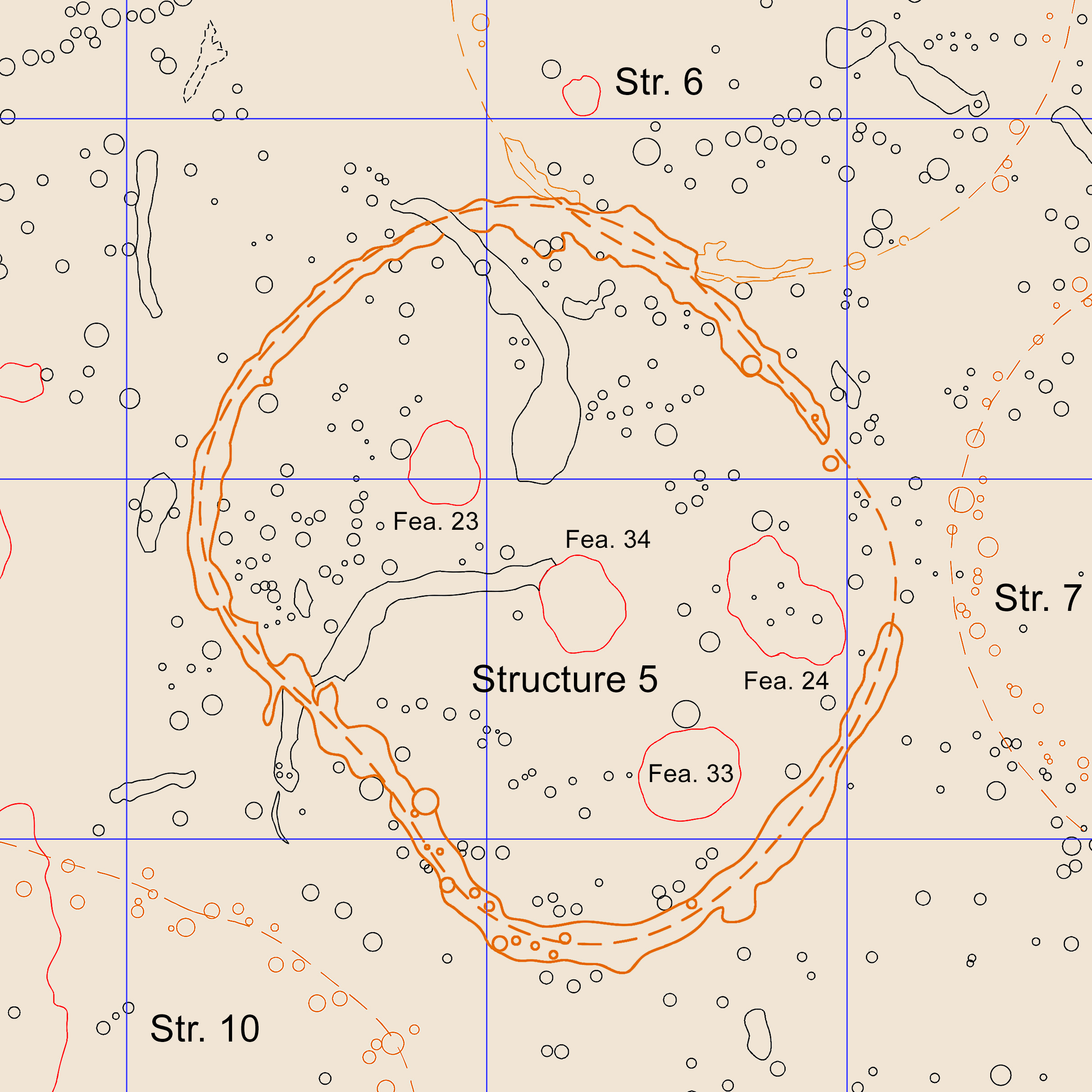
Archaeologists accurately map the locations of all the features they encounter. As more and more squares are opened, the size of the map grows, and the layout of the ancient community is gradually revealed. Here's a map of one part of Occaneechi Town. Post holes are indicated by black circles; pits are depicted in red; and houses are shown in brown. In the upper left is a line of post holes from a defensive wall, or palisade, that surrounded the village. The blue grid lines depict 10 by 10 ft excavation squares.