

Figures: General
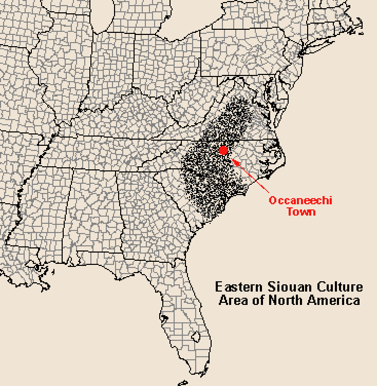
Figure 1. Distribution of Siouan-speaking peoples in eastern North America (based on Mooney 1894).
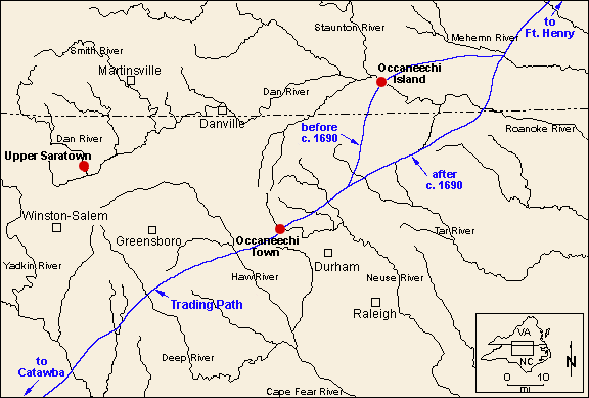
Figure 2. Map of the study area locating Occaneechi Island, Occaneechi Town (Fredricks site), and Upper Saratown.
Figure 3. Close-up view of Edward Moseley's 1733 map of North Carolina showing "Acconeechy I." or Occaneechi Island on Roanoke River.
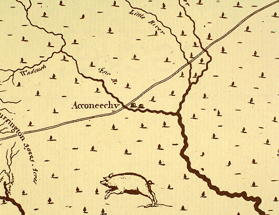
Figure 4. Close-up view of Edward Moseley's 1733 map of North Carolina showing "Acconeechy" or Occaneechi Town on Eno River.
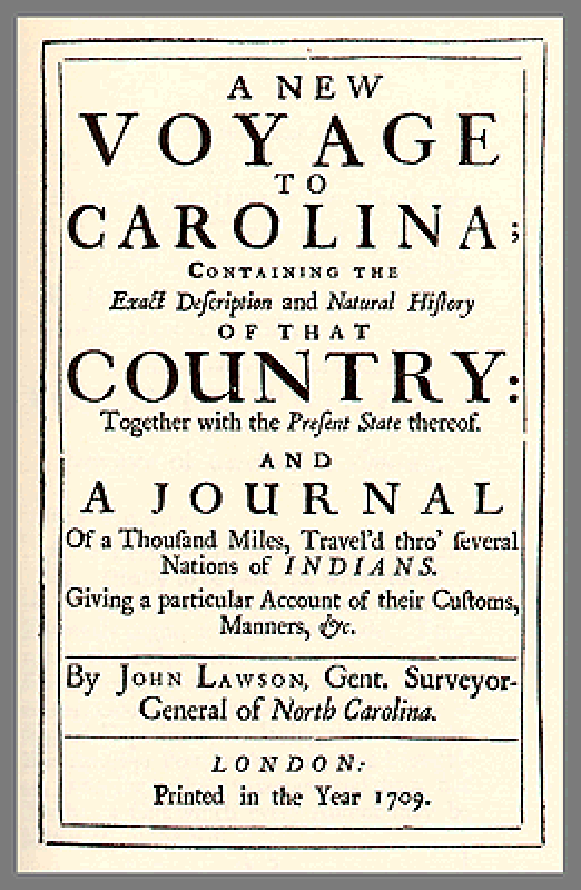
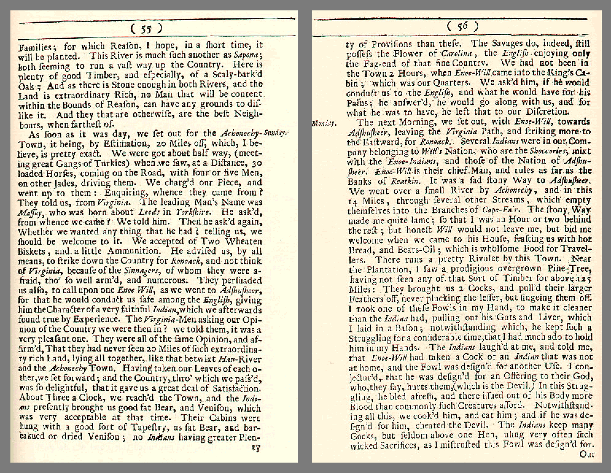
Figure 5. Title page from John Lawson's journal (Lawson 1709).
Figure 6. John Lawson's description of his 1701 visit to "Achonechy-Town" (Lawson 1709).
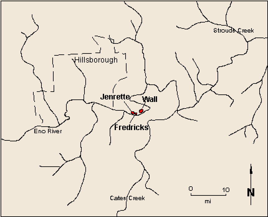
Figure 7. Map of the Hillsborough locality.
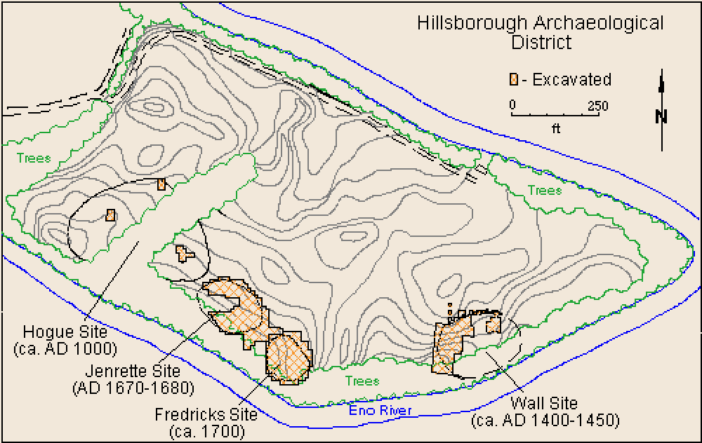
Figure 8. Excavated sites in the Hillsborough archaeological district.
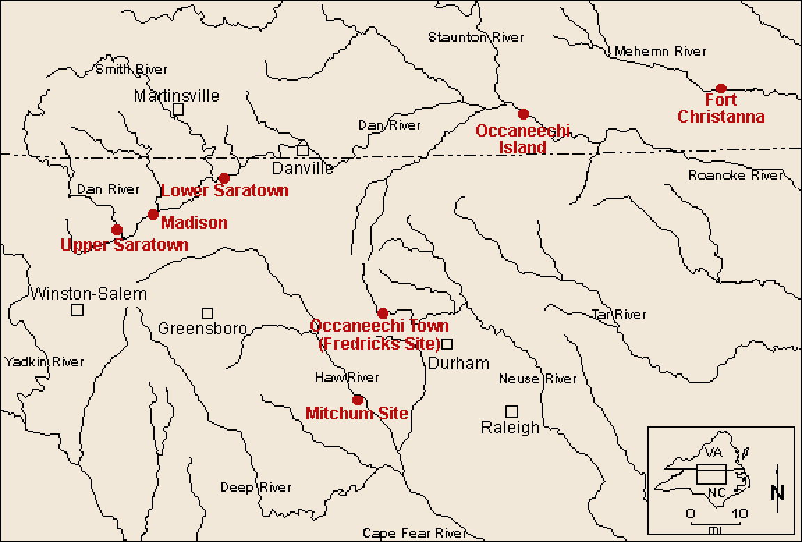
Figure 9. Selected archaeological sites in northern North Carolina and southern Virginia.
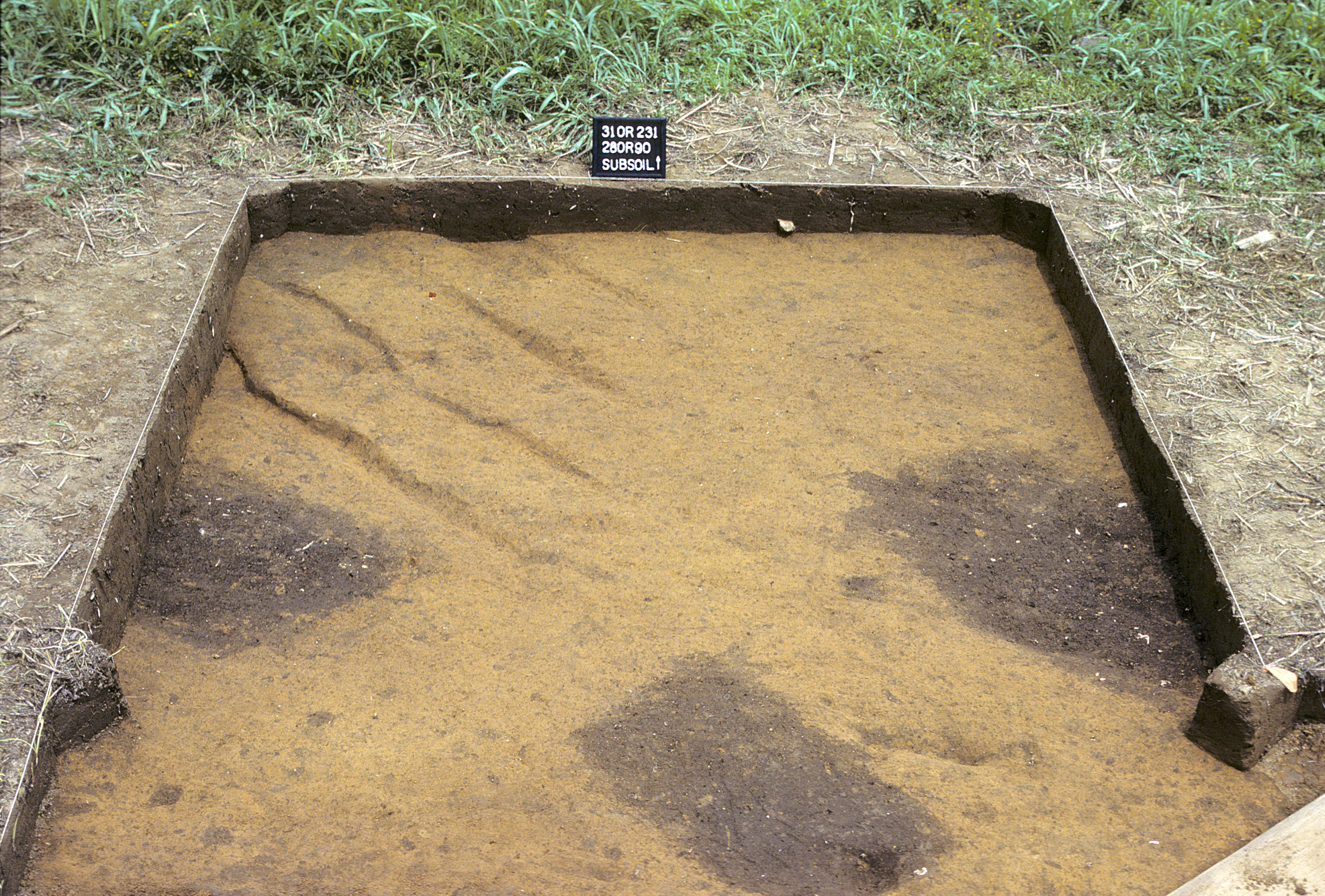
Figure 10. Sq. 280R90 at top of subsoil (view to north).
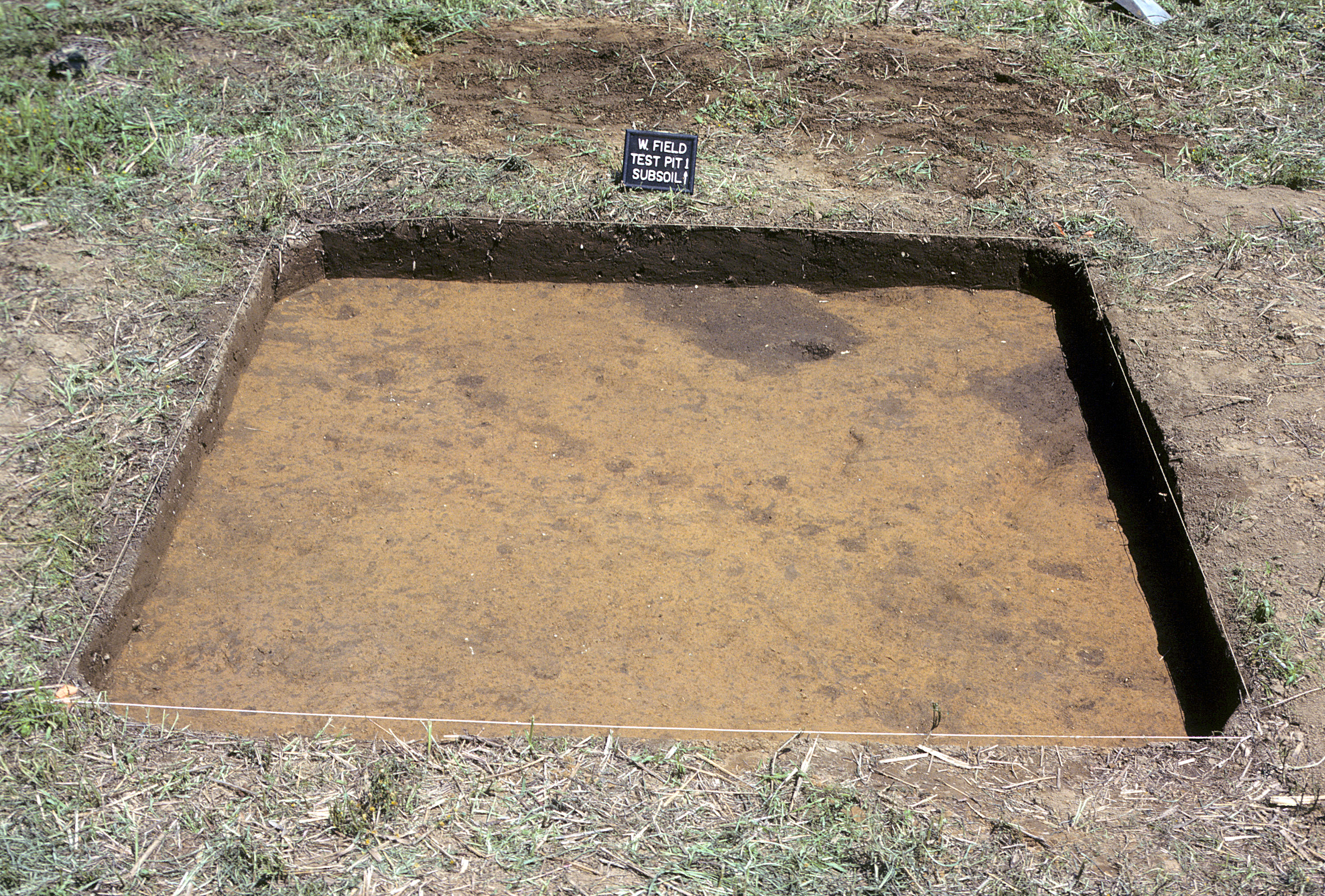
Figure 11. Sq. 270R90 at top of subsoil (view to north).
Figure 12. Archaeologist Trawick Ward describes how the site of Occaneechi Town was discovered. [Available video formats: Quicktime, MPEG-1, MPEG-4, RealPlayer.]
Figure 13. Beginning excavation at the Fredricks site in 1983.
Figure 14. Excavating Burial 1.
Figure 15. Aerial view of 1984 excavations at the Wall (foreground) and Fredricks (background) sites.
Figure 16. Aerial view of 1984 excavation.
Figure 17. Excavating plowed soil at the Fredricks site in 1984.
Figure 18. Cleaning and photographing burial pits in the cemetery.
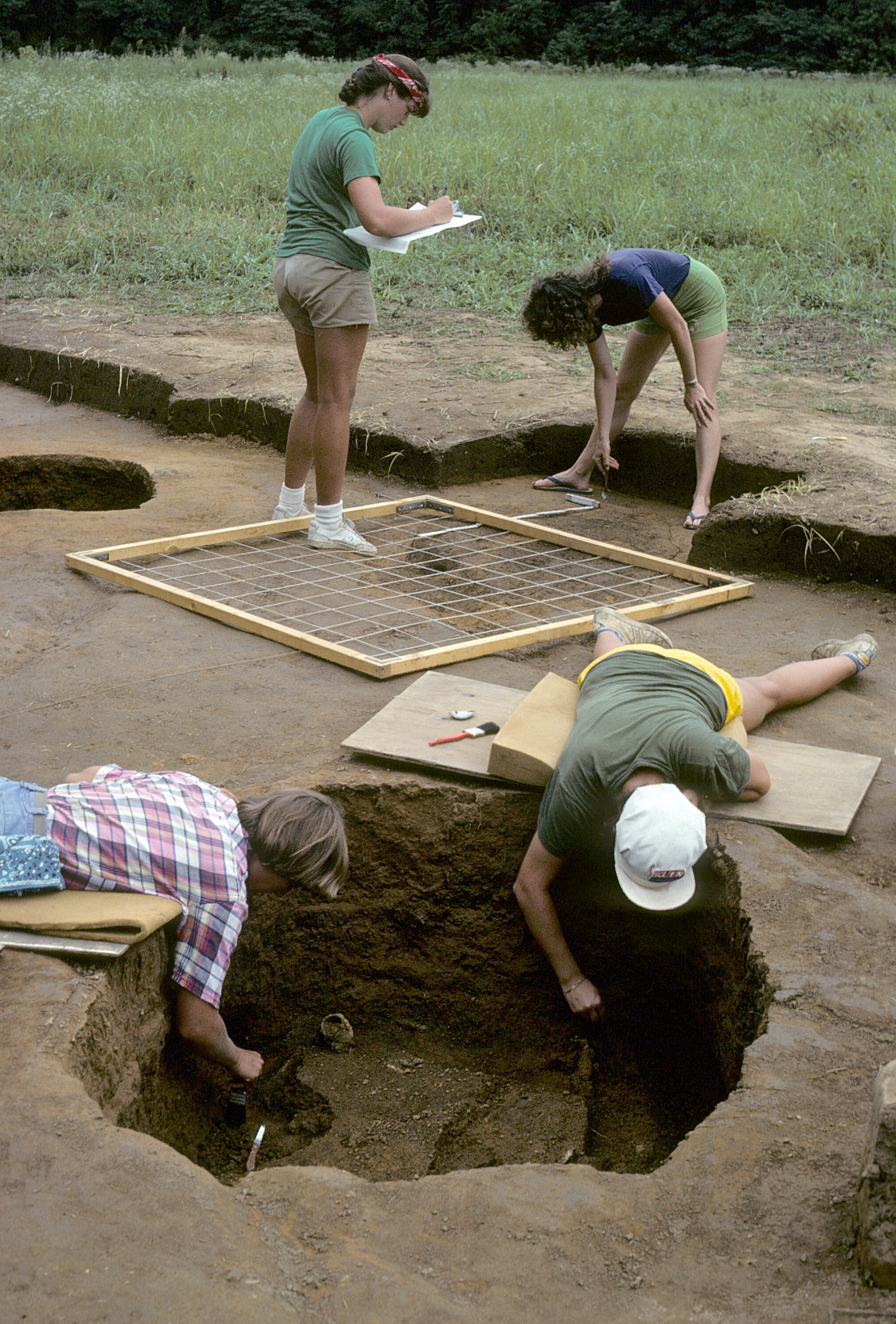
Figure 19. Mapping and excavating burials.
Figure 20. Outlining Structure 1 and Feature 9 prior to mapping.
Figure 21. The 1984 archaeological field crew at the Fredricks site.
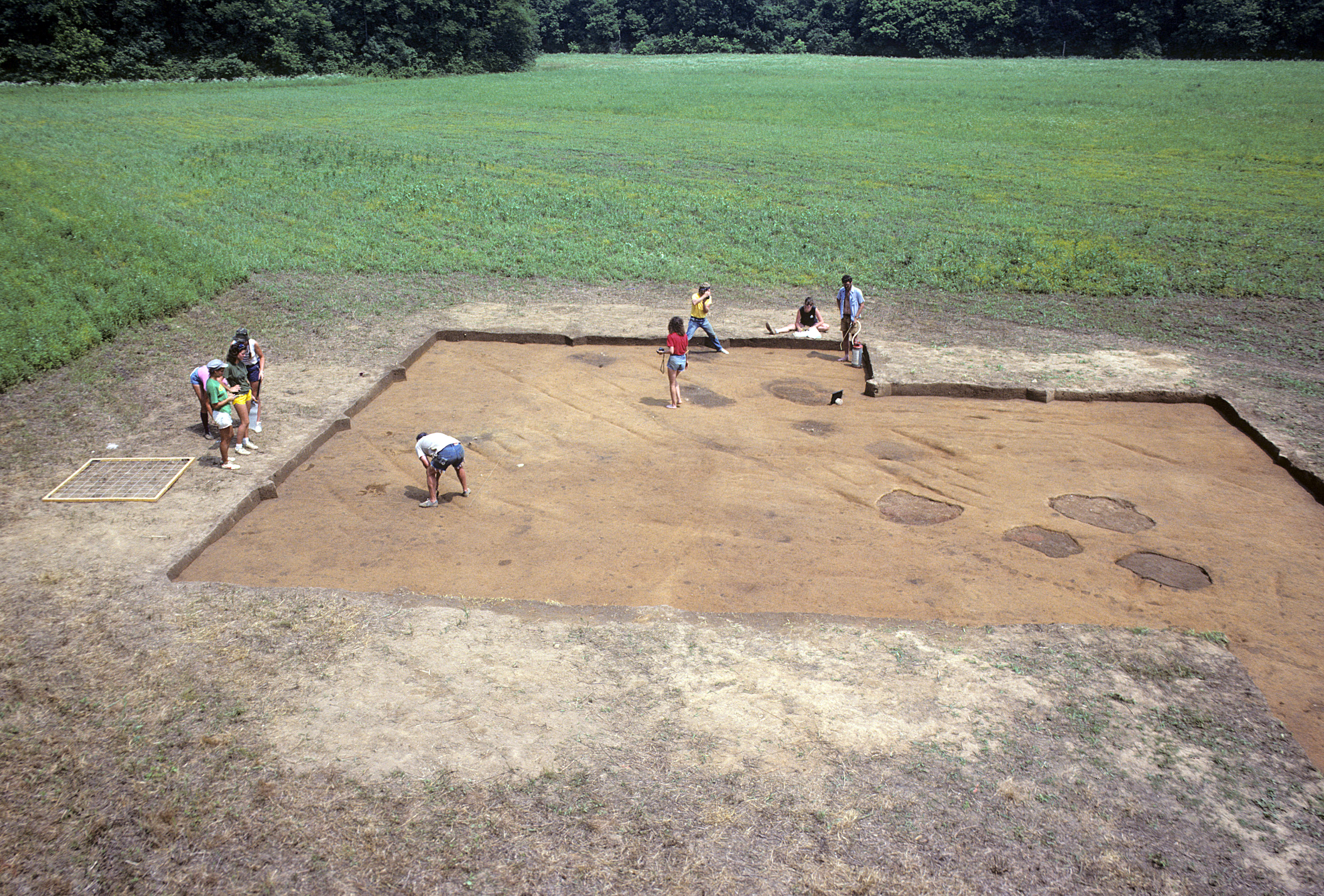
Figure 22. View of excavations at the Fredricks site in 1985.
Figure 23. Excavating and cleaning archaeological features in 1985.
Figure 24. Cleaning Structure 6 (foreground) and Structure 5 (background) prior to mapping.
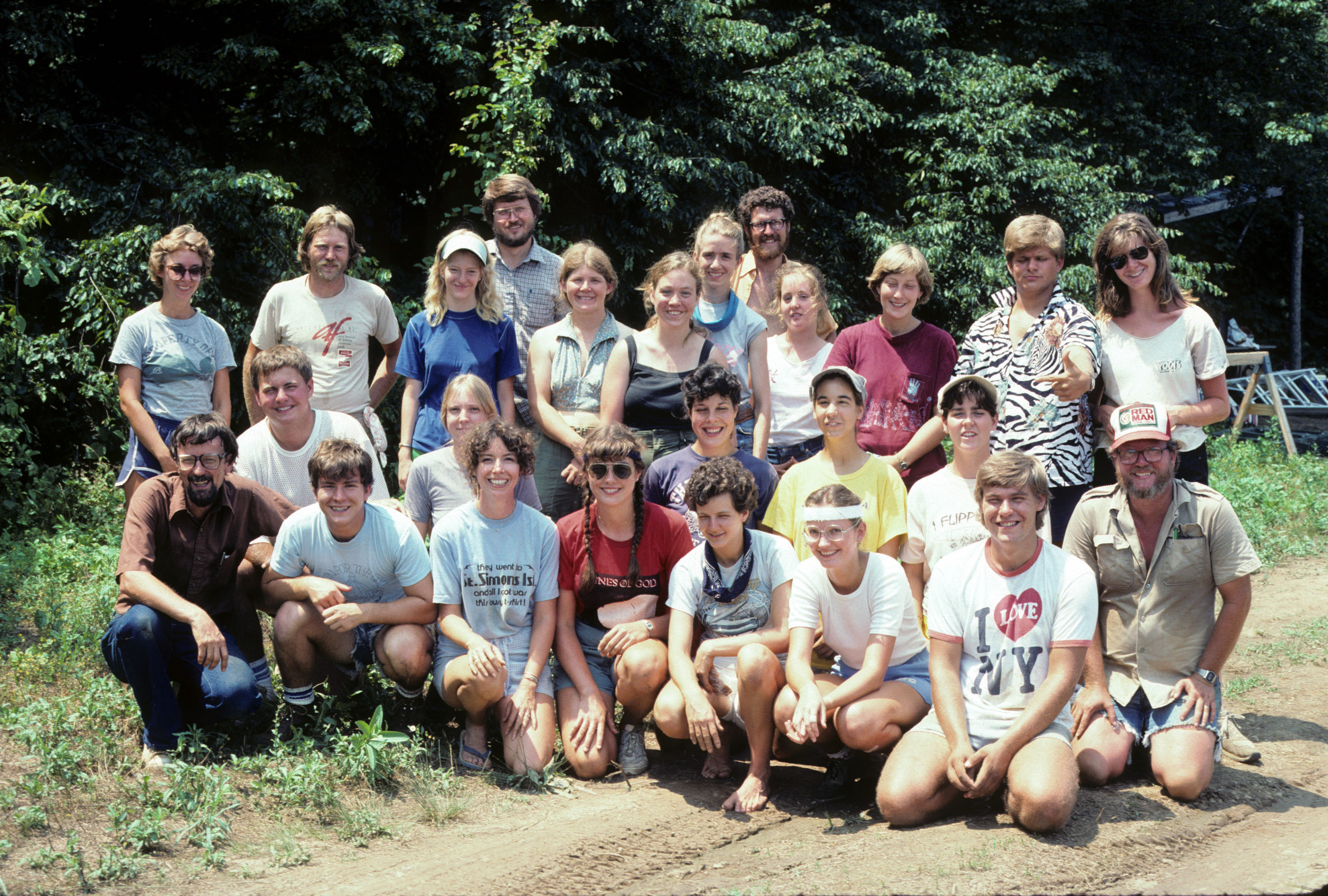
Figure 25. The 1985 archaeological field crew at the Fredricks site.
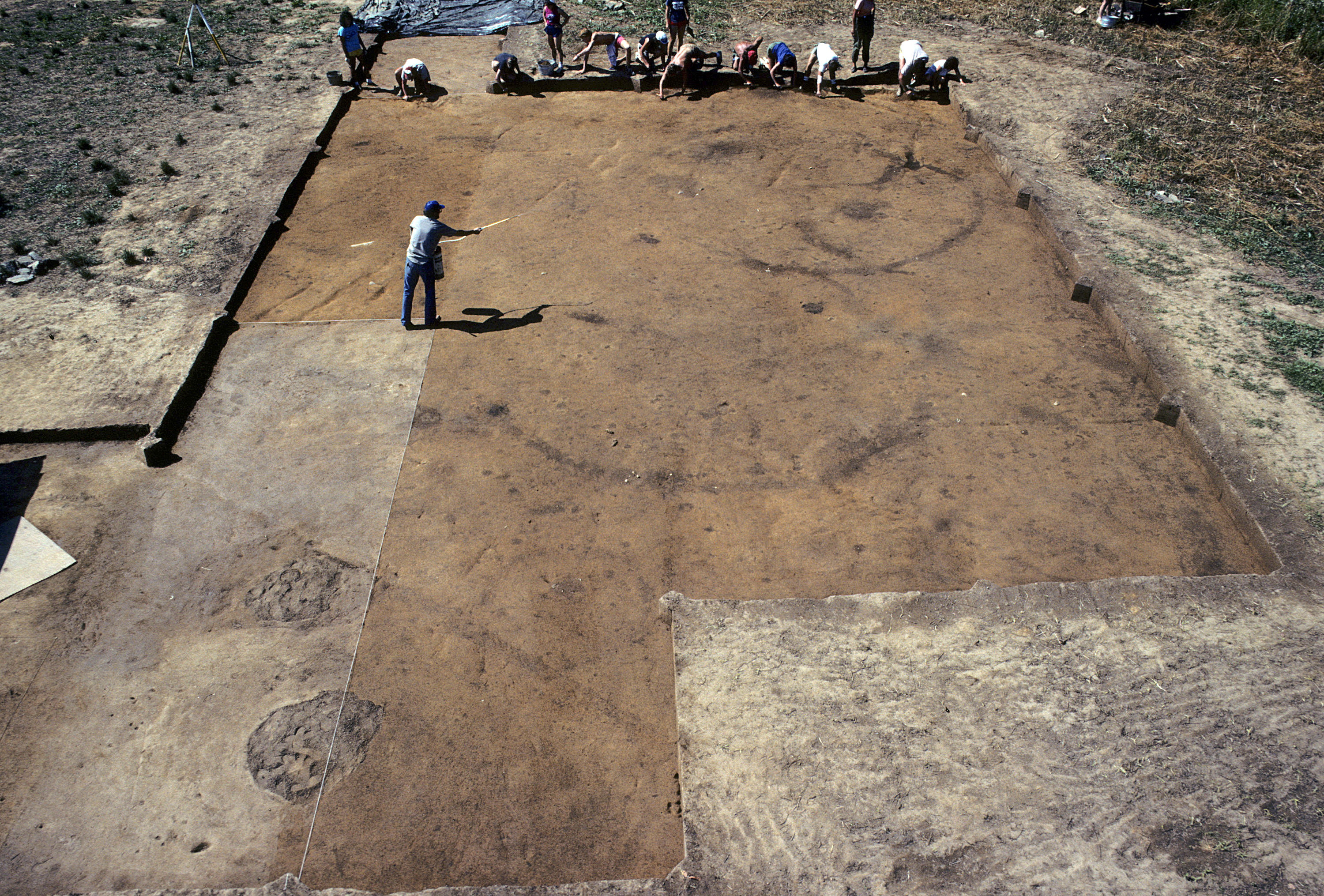
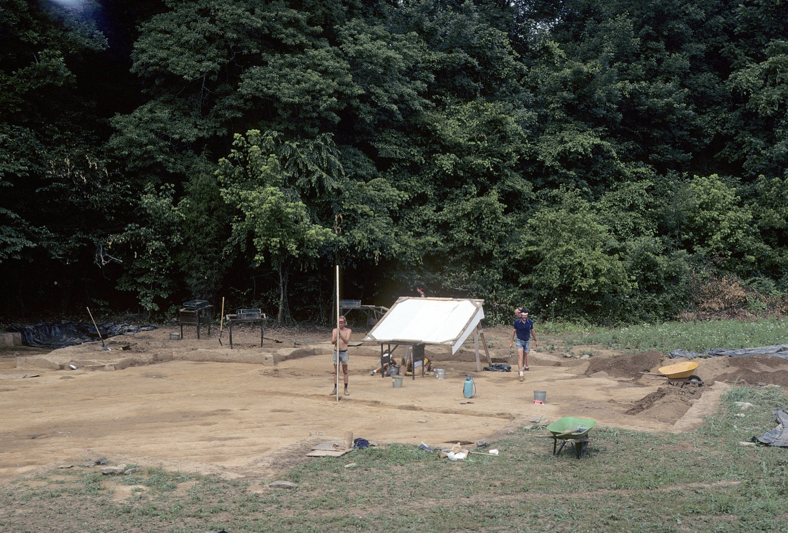
Figure 26. View of excavations at the Fredricks site in 1986.
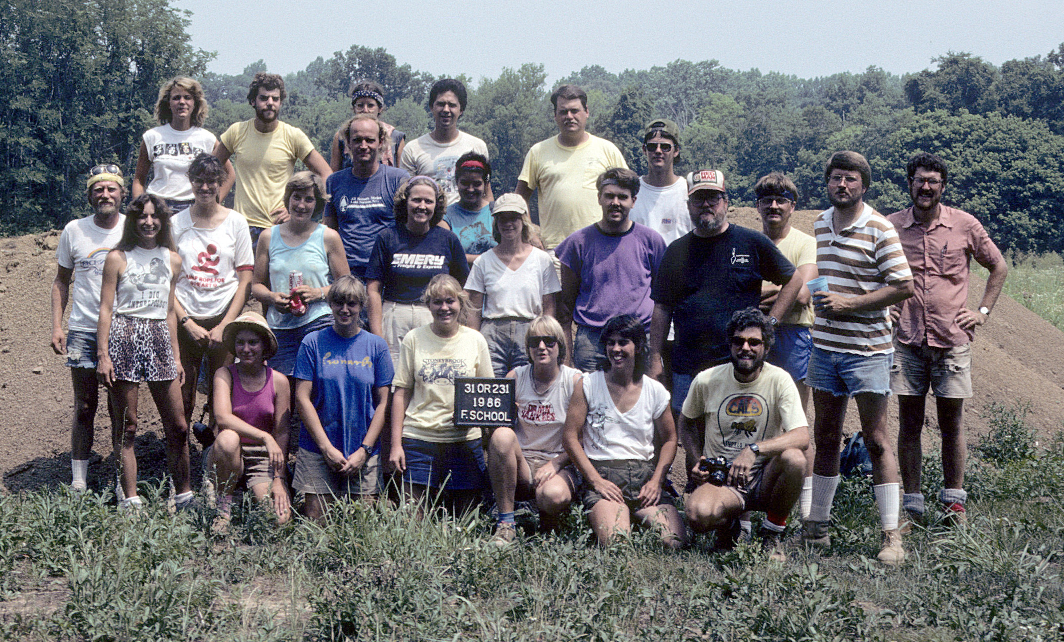
Figure 27. The 1986 archaeological field crew at the Fredricks site.
Figure 28. Map of areas excavated at the Fredricks site by field season.
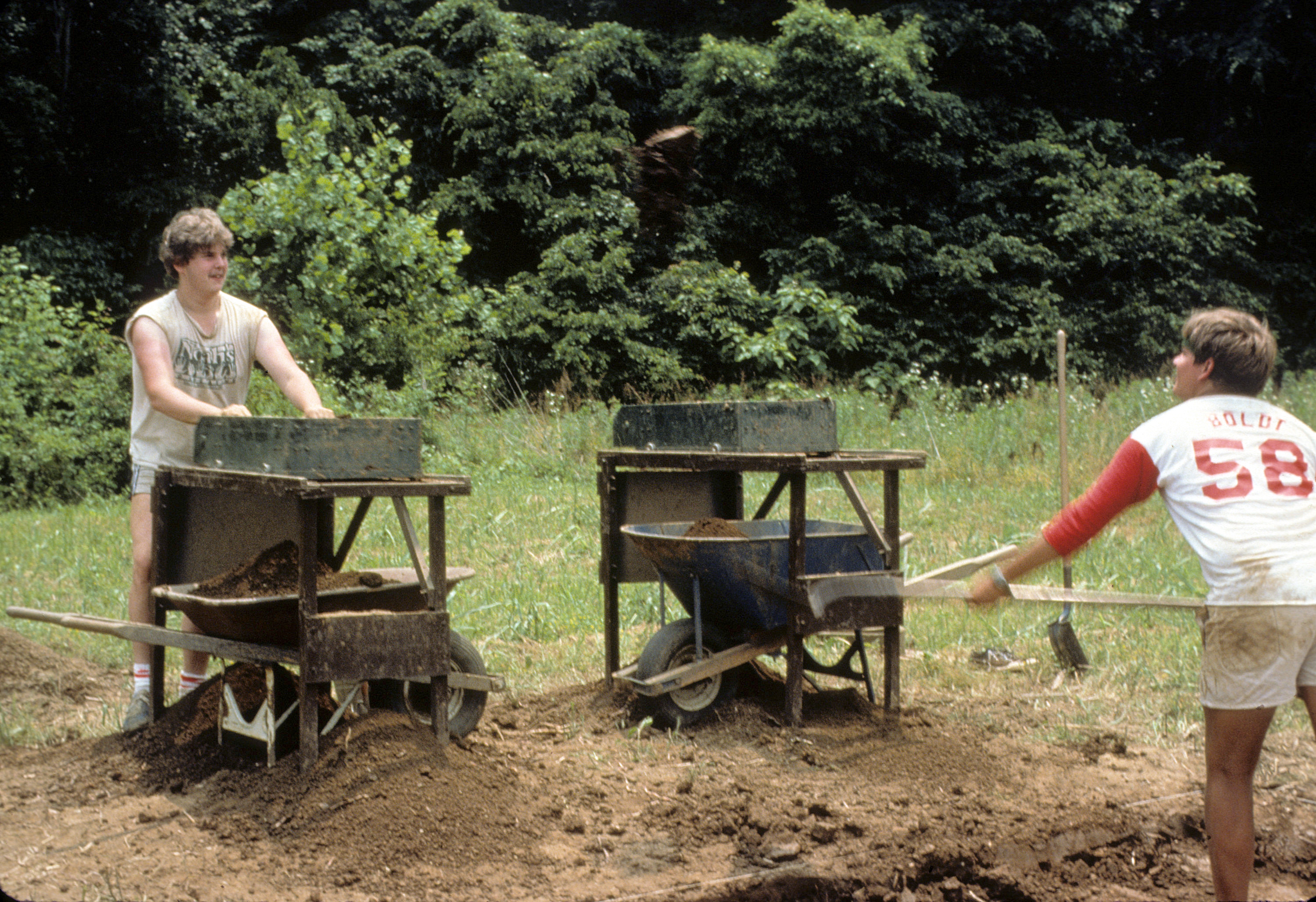
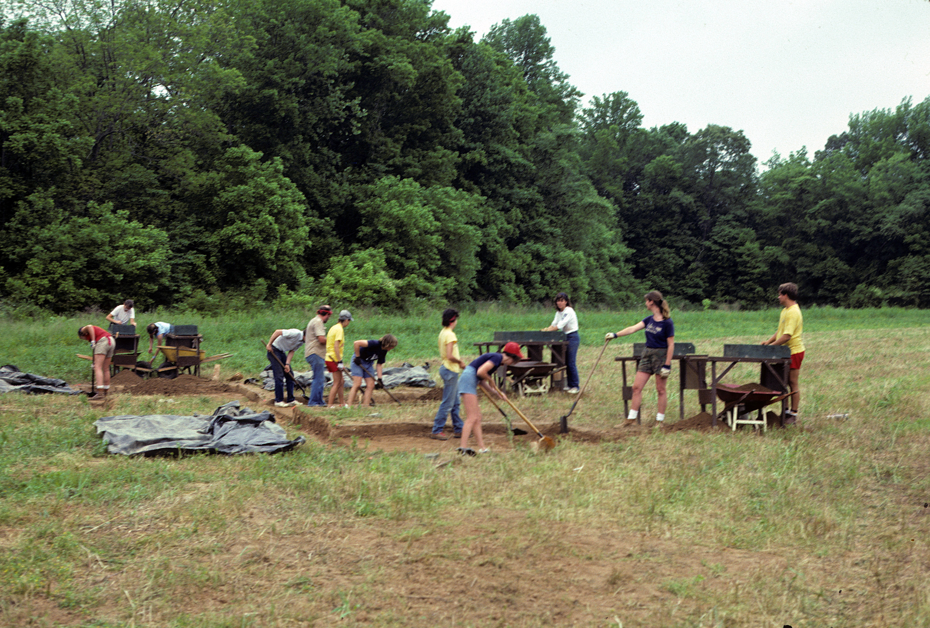
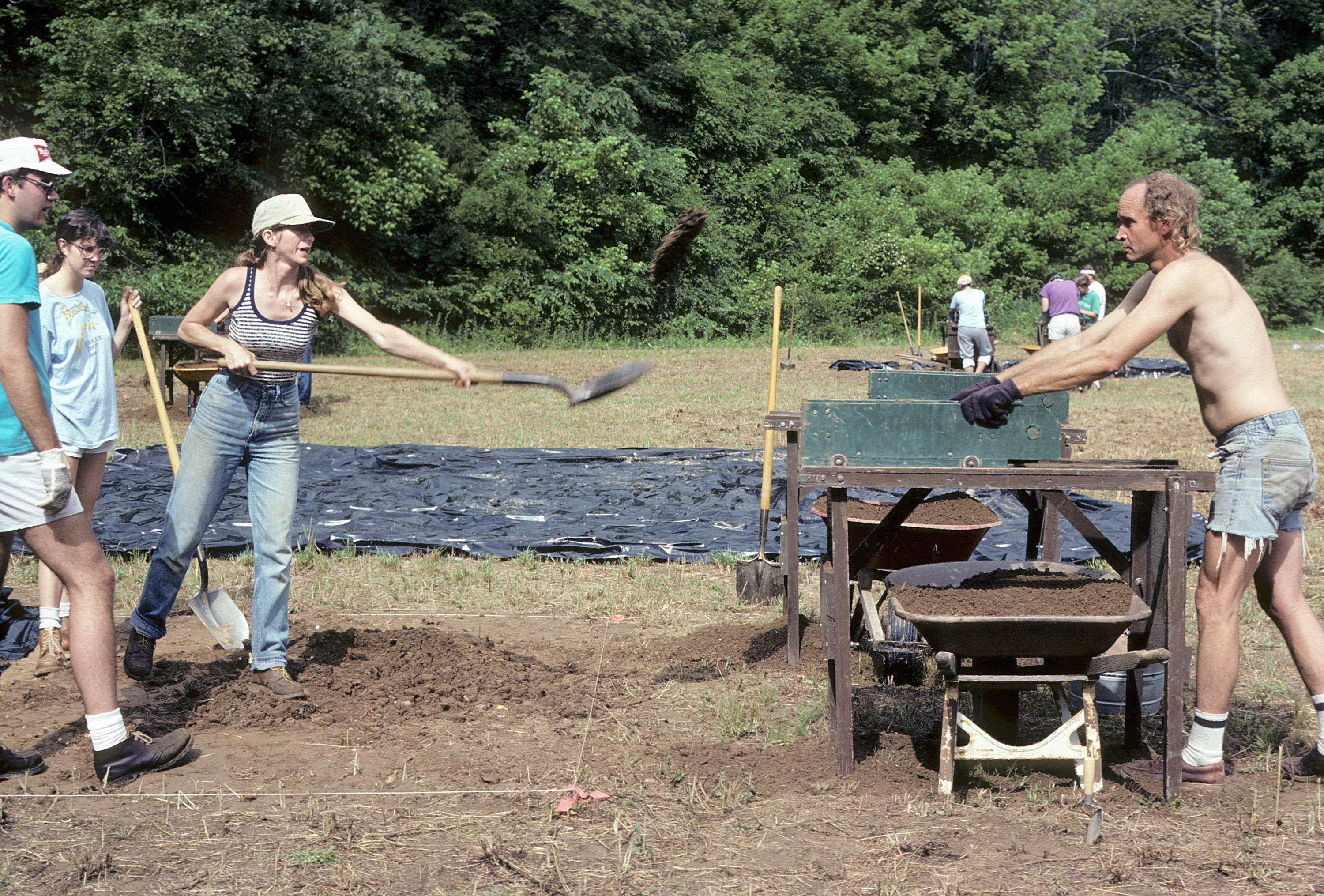
Figure 29. Excavating and dry-sifting plowed soil.
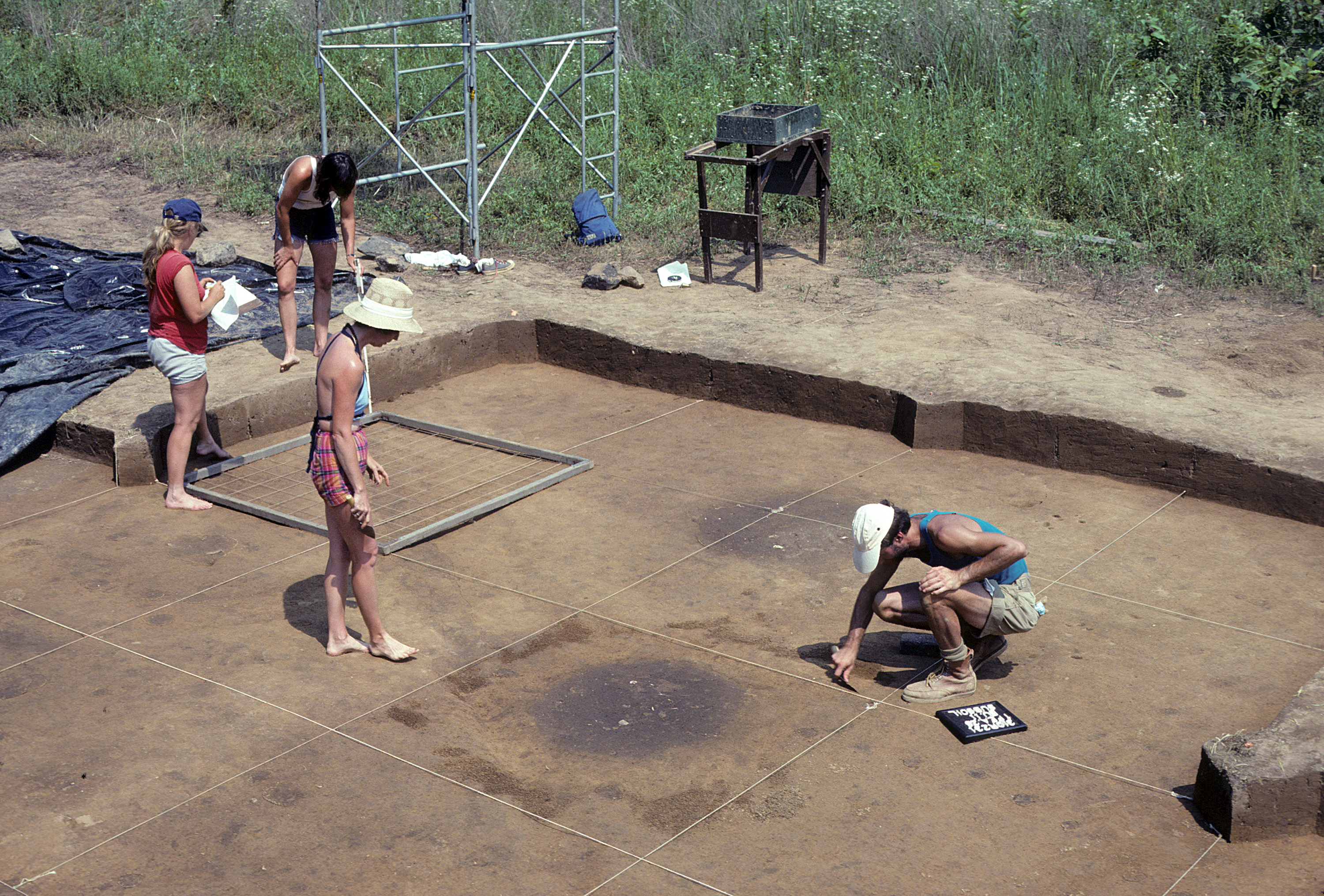
Figure 30. Trowelling the top of subsoil to expose features for mapping.
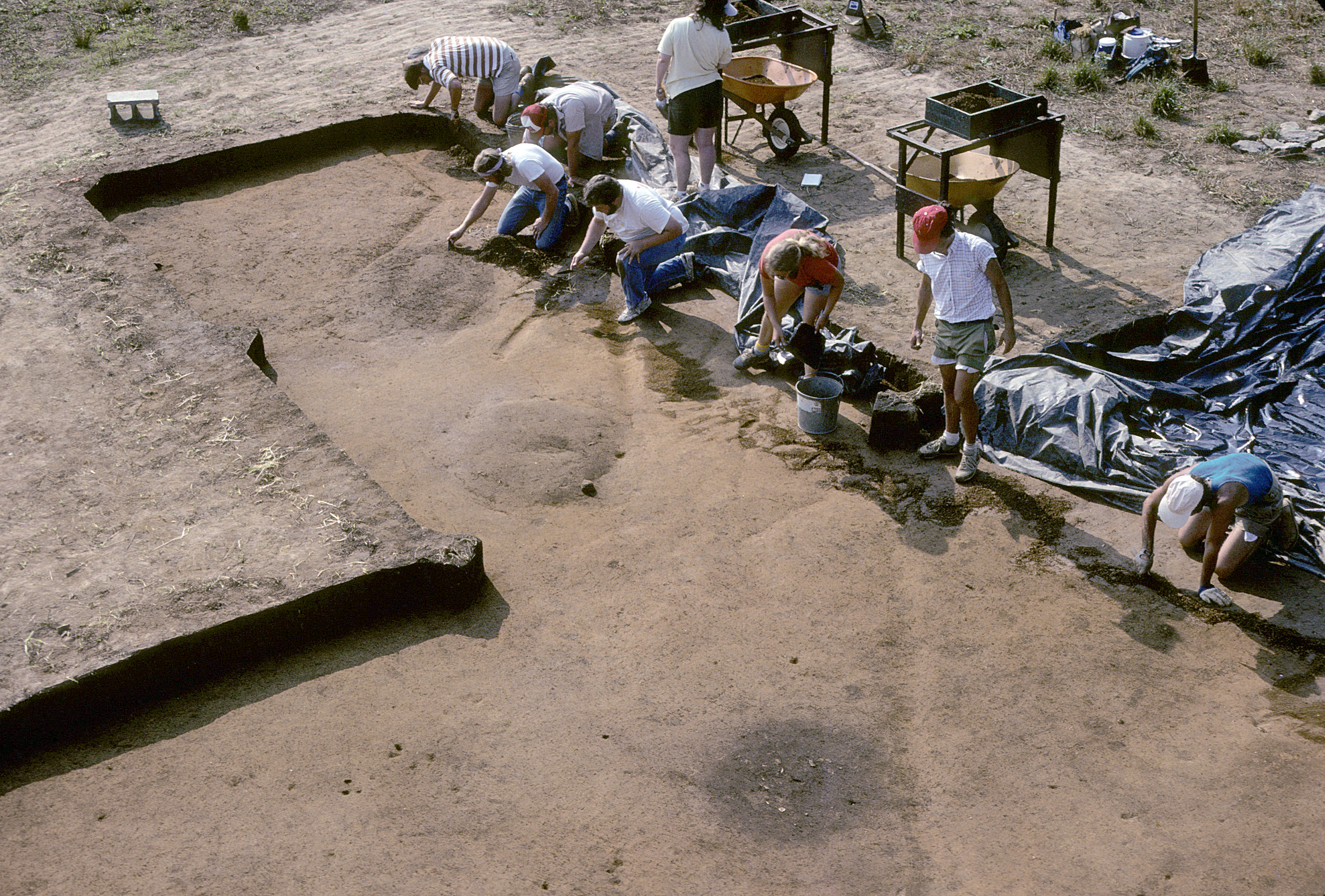
Figure 31. Cleaning and mapping the top of subsoil.
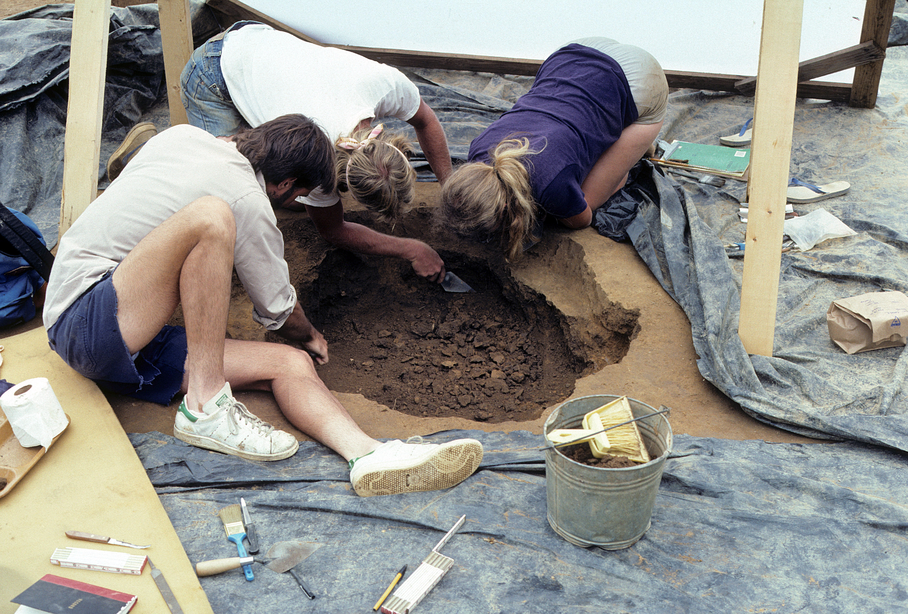
Figure 32. Excavating the fill dirt from an archaeological feature.
Figure 33. Sluices used to waterscreen soils at the Fredricks site.
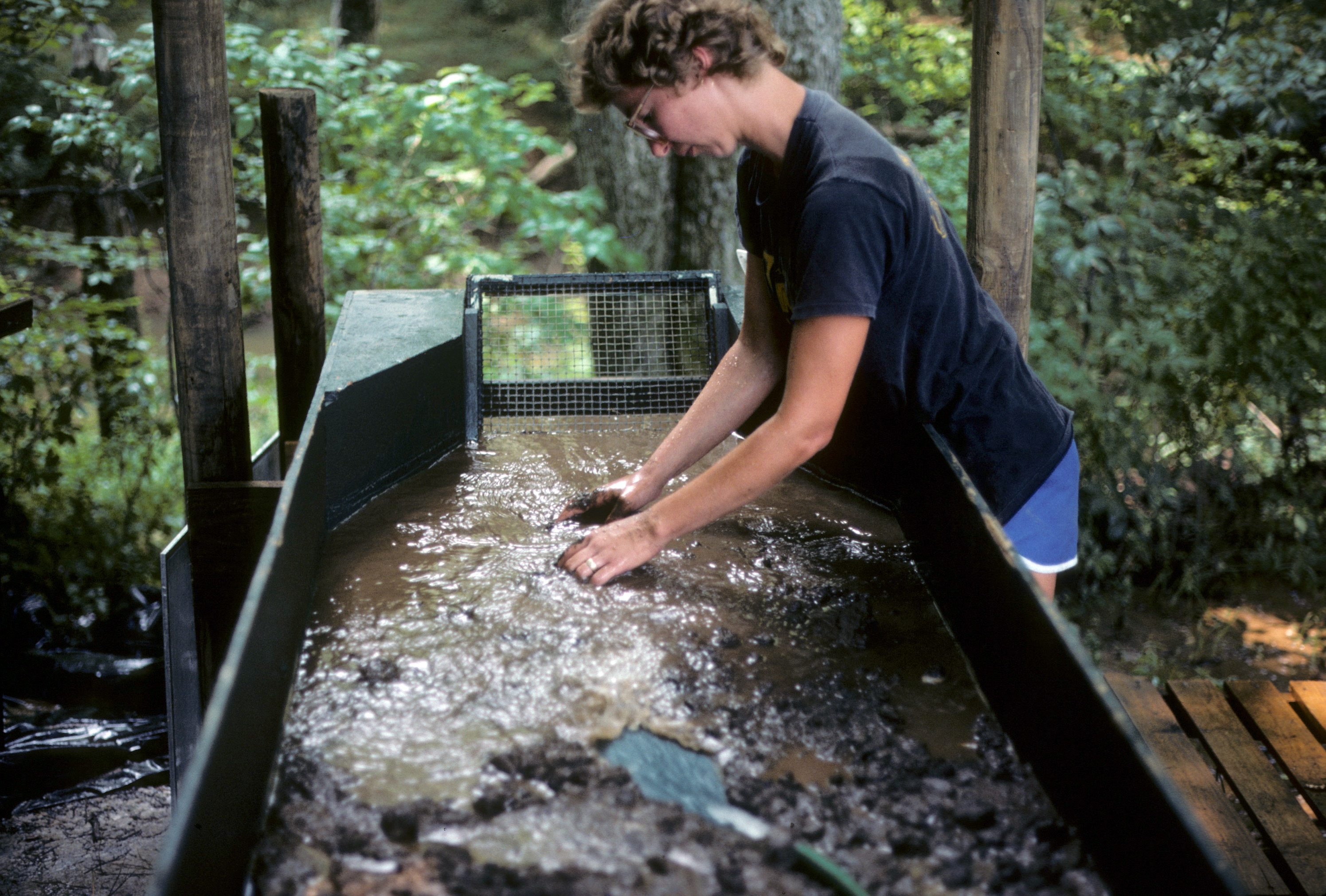
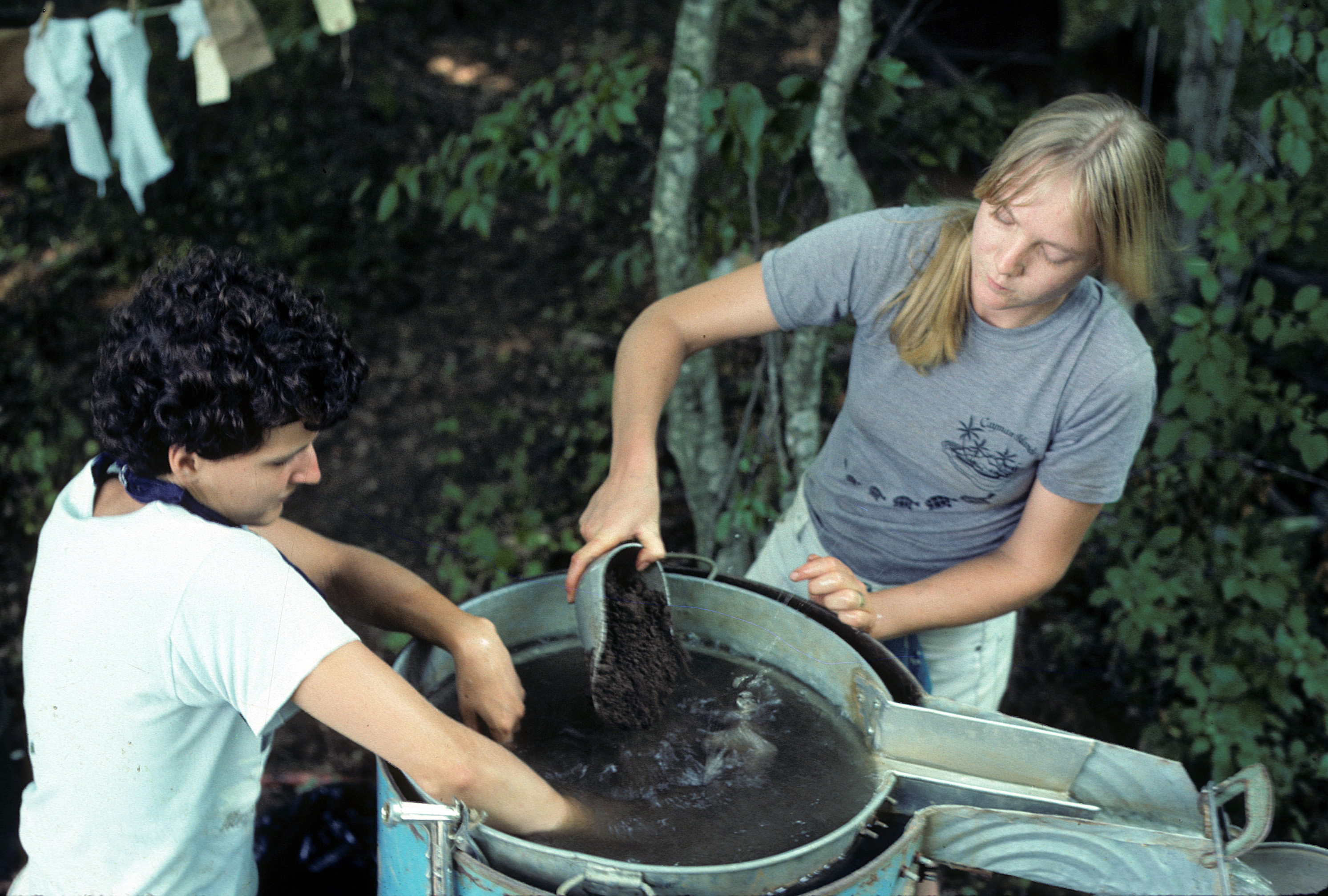
Figure 34. Washing fill dirt from an archaeological feature to recover artifacts.
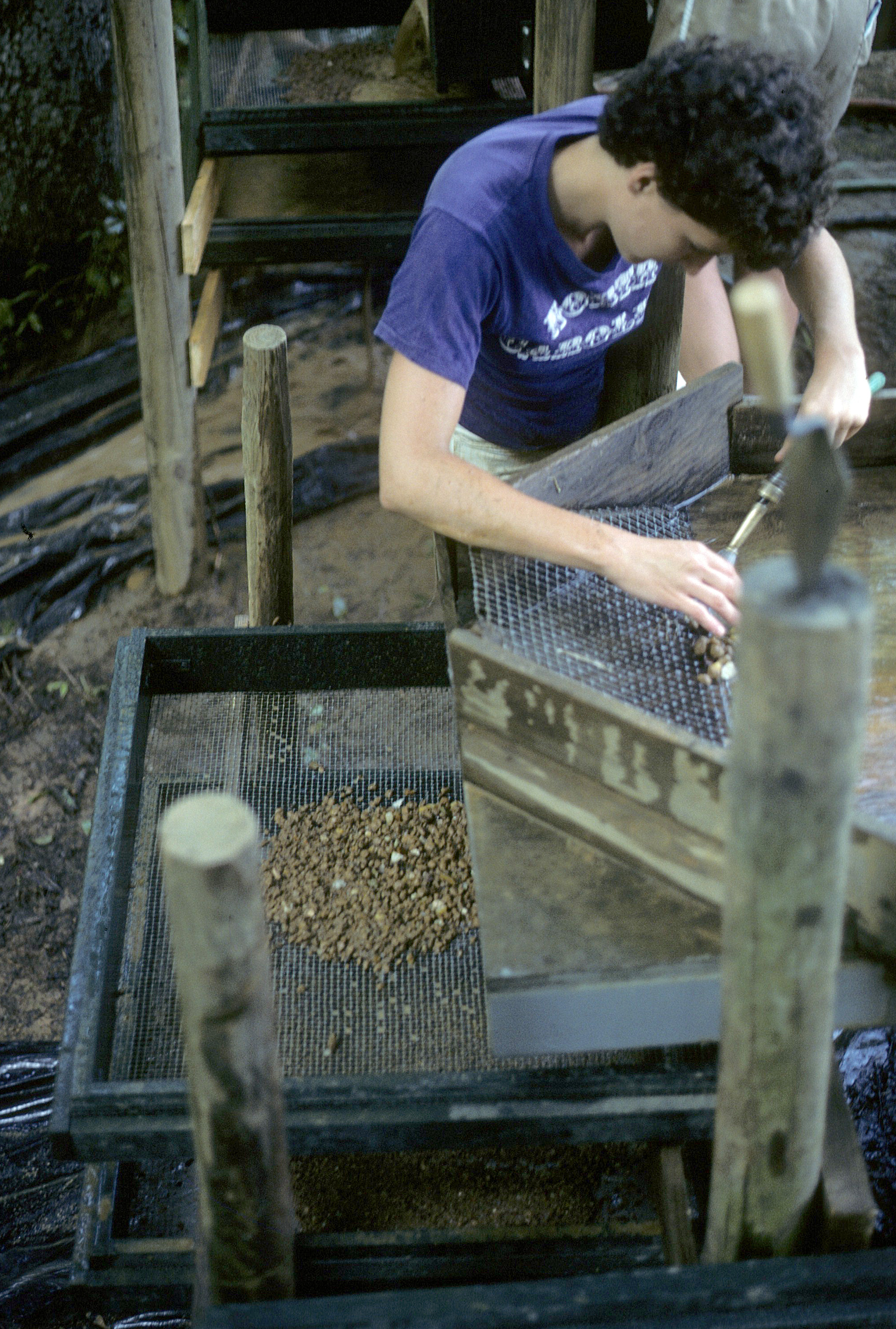
Figure 35. View of sluice showing series of 1/2-inch, 1/4-inch, and 1/16-inch screens.
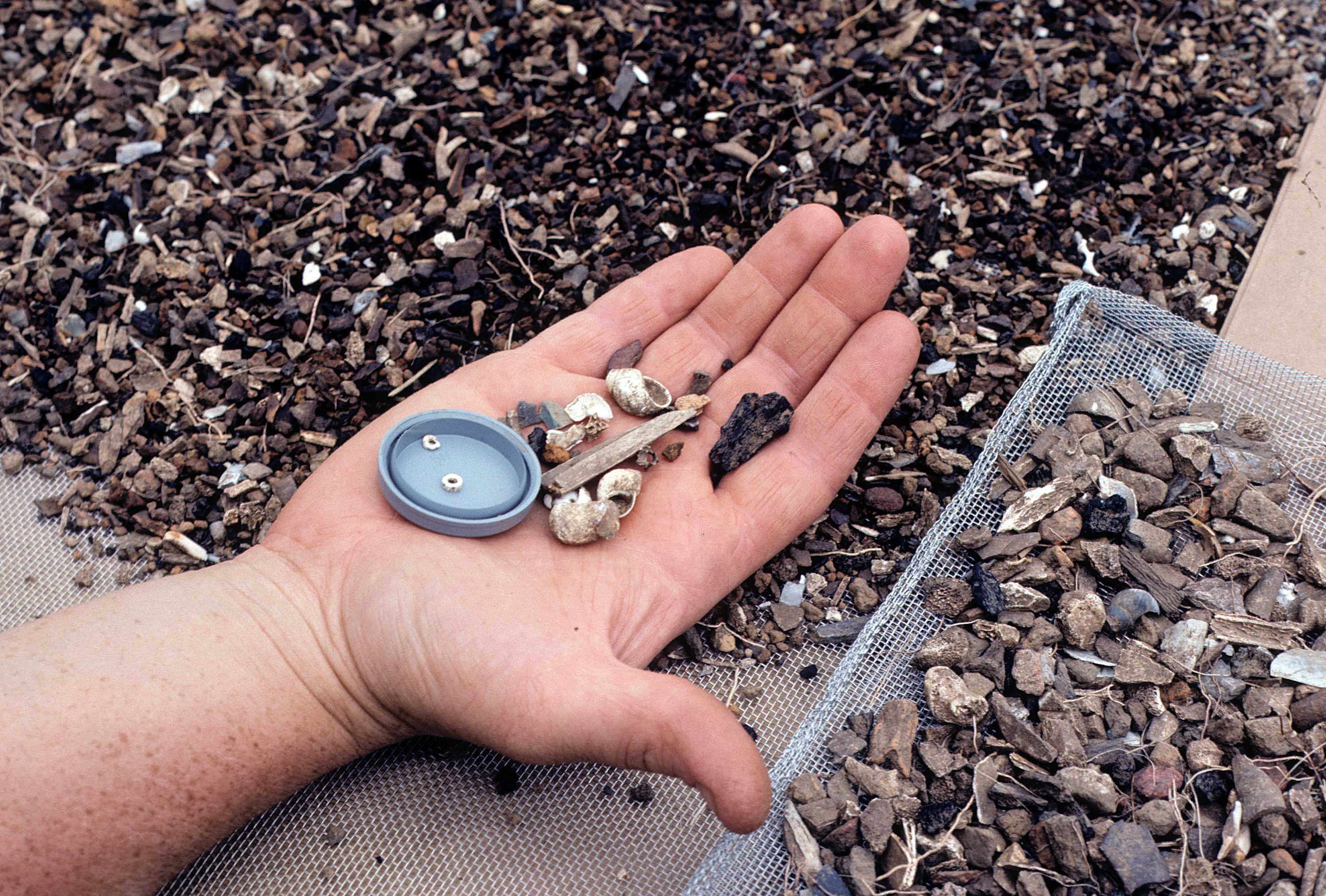
Figure 36. Close-up of items recovered by waterscreening.
Figure 37. Students using a flotation tank to retrieve carbonized plant remains.