

Figure 701. Feature 7 (Burial 9), plan and profile views.
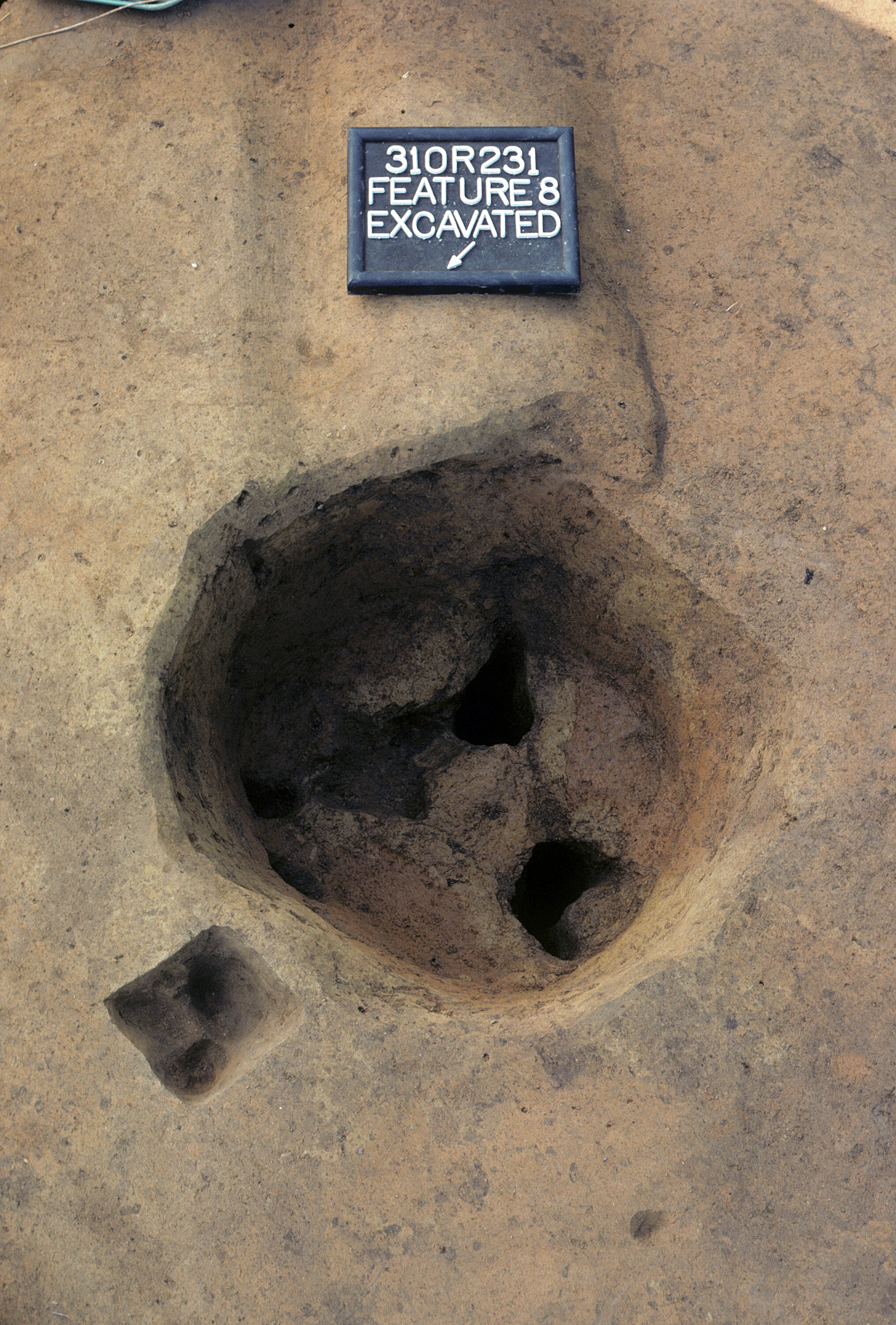
Figure 702. Feature 8 after excavation (view to southeast).
Figure 703. Feature 8, plan and profile views.
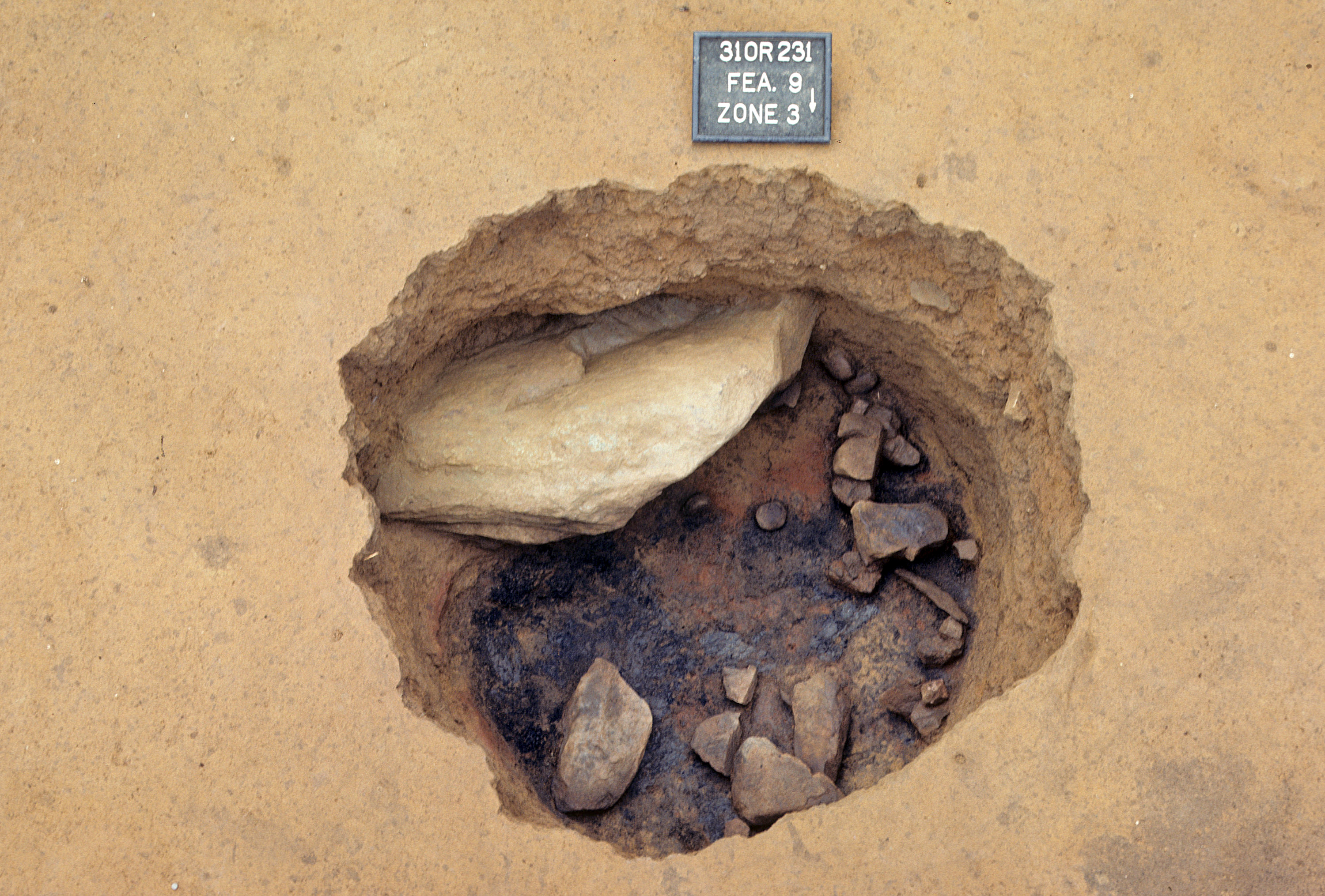
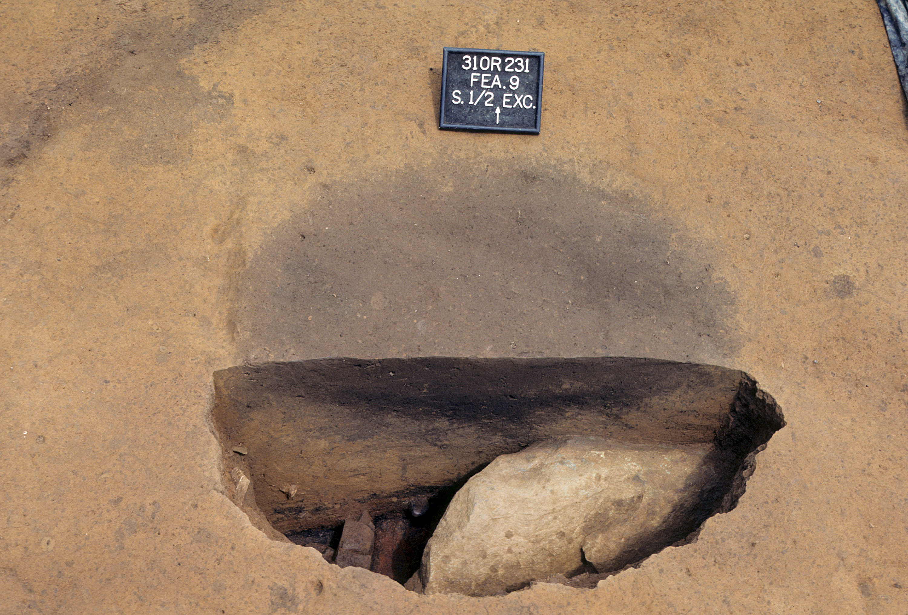
Figure 704. Feature 9 after excavation (view to south).
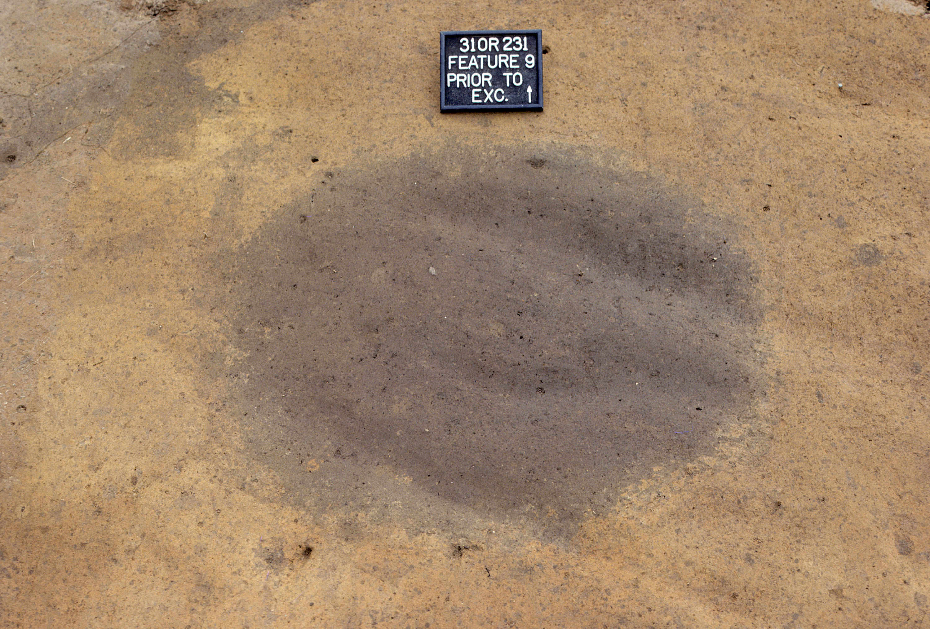
Figure 705. Feature 9 before excavation (view to north).
Figure 706. Feature 9, plan and profile views.
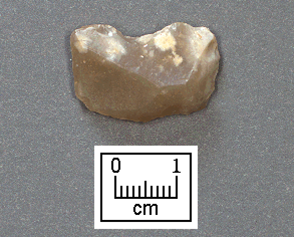
Figure 707. Gunflint from Feature 31 (RLA catalog no. 2378a11).
Figure 708. Large carved wood fragments from Burial 8 (RLA catalog no. 2351a2555).
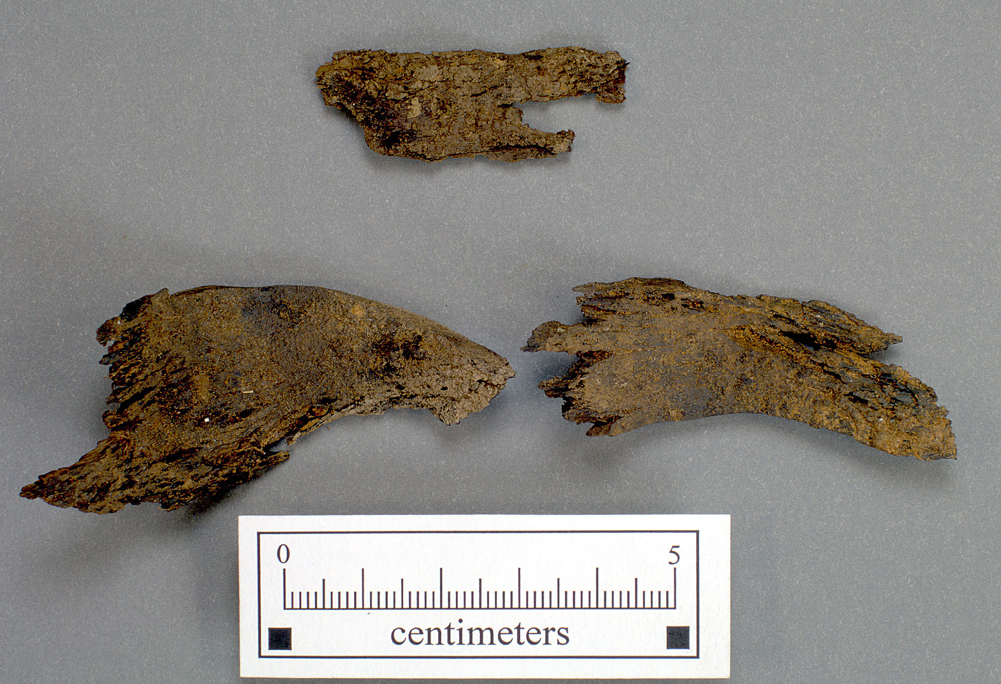
Figure 709. Leather and matting from Burial 3 (RLA catalog no. 2351a622).
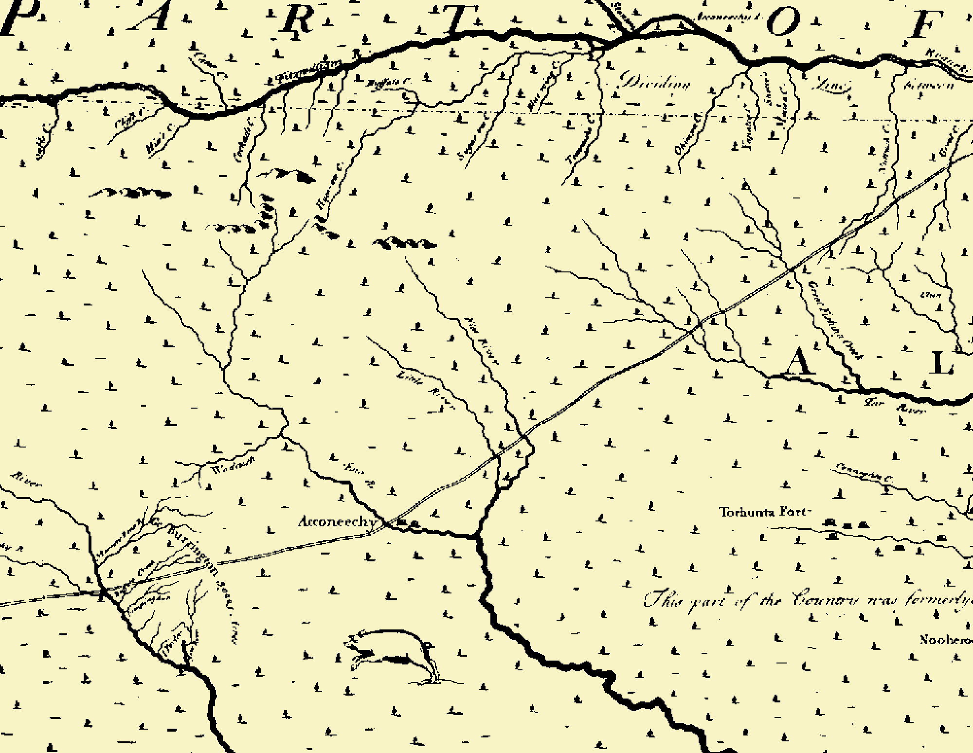
Figure 710. Portion of Edward Moseley's 1733 map of North Carolina showing "Acconeechy."
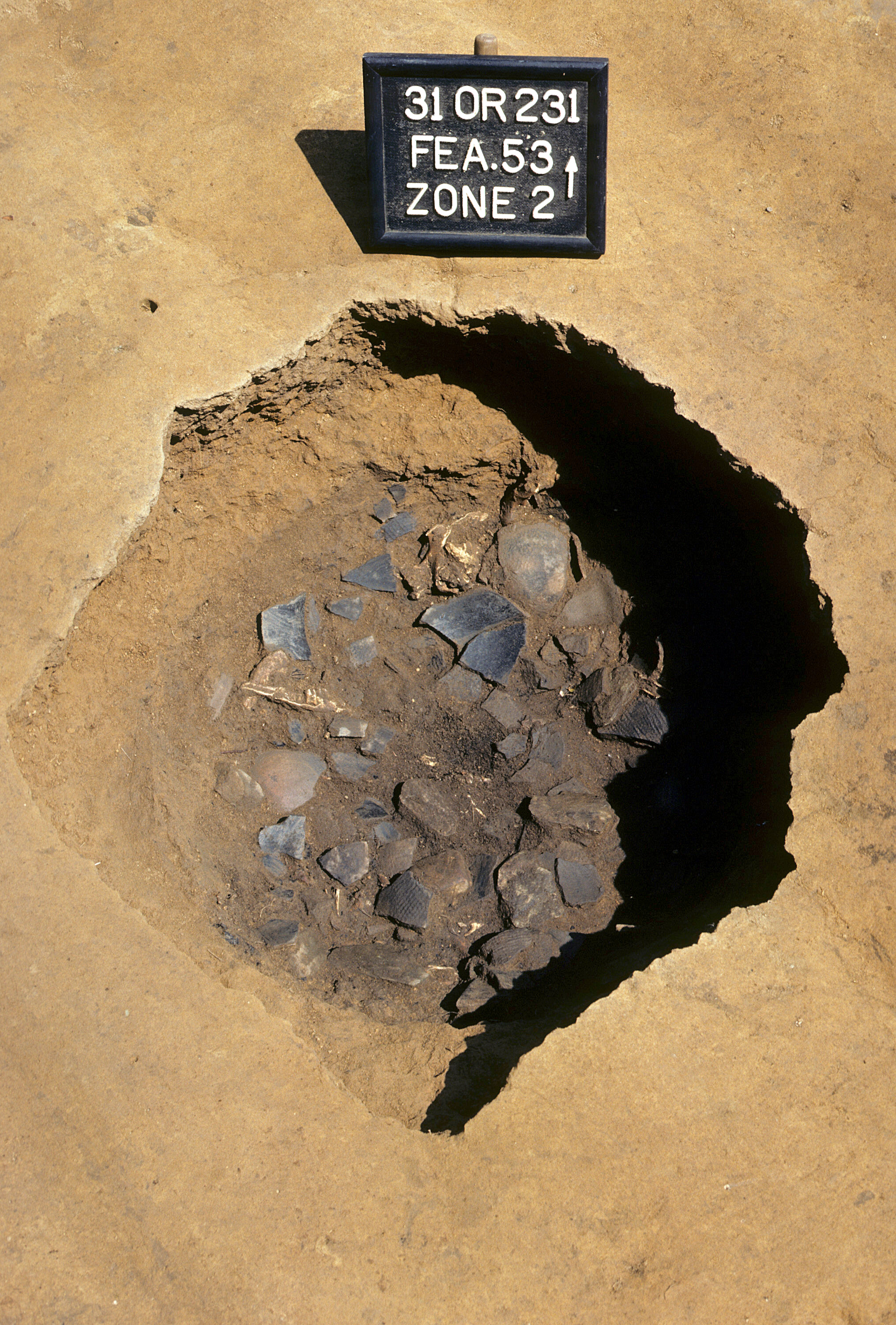
Figure 711. Potsherds and animal bone within Feature 53 fill (view to north).
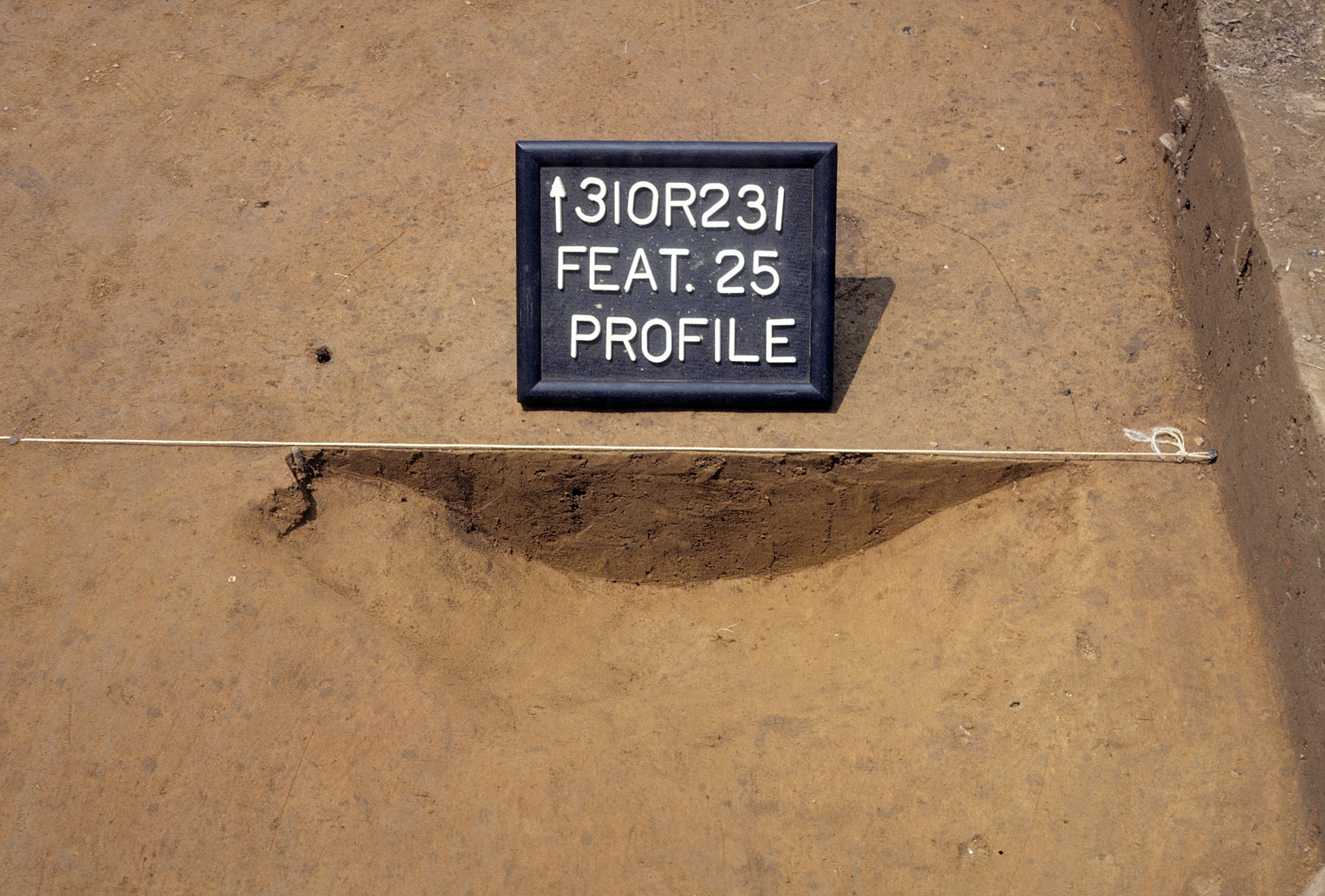
Figure 712. Profile of fill in Feature 25 (view to north).
Figure 713. Profile of fill in Feature 9 (view to north).
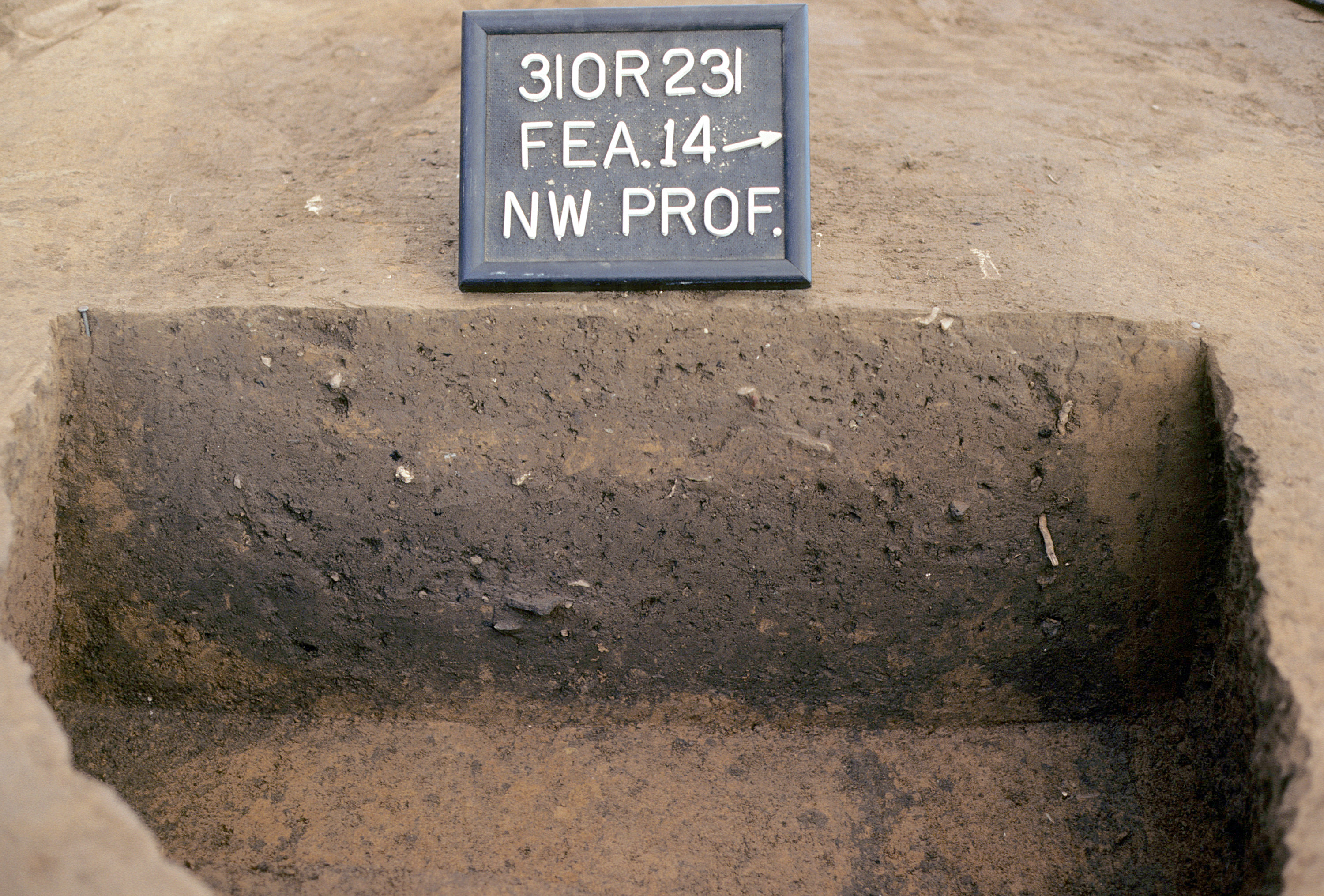
Figure 714. Profile of upper fill in Feature 14 (Burial 11) (view to northwest).
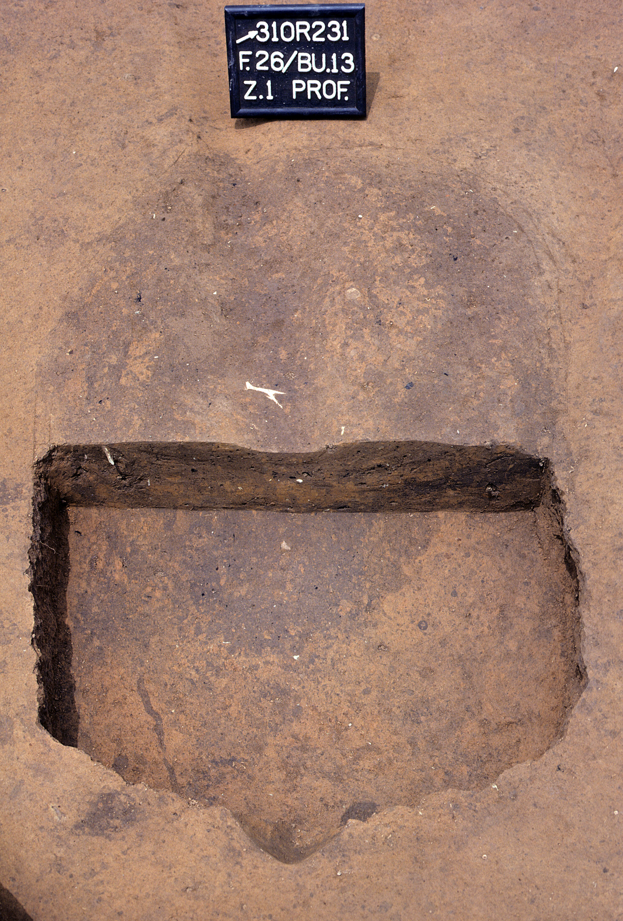
Figure 715. Profile of upper fill in Feature 26 (Burial 13) (view to northwest).
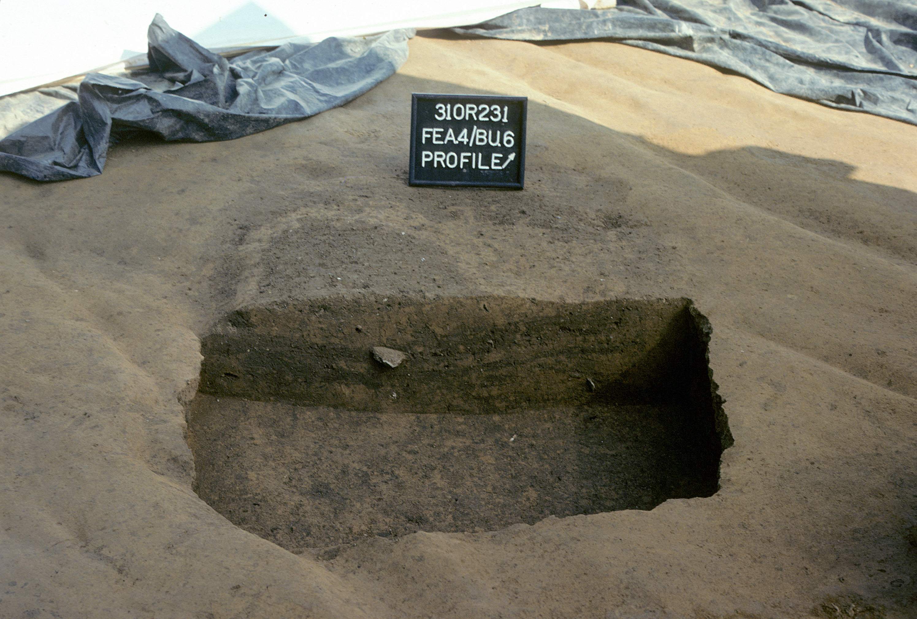
Figure 716. Profile of upper fill in Feature 4 (Burial 6) (view to northwest).
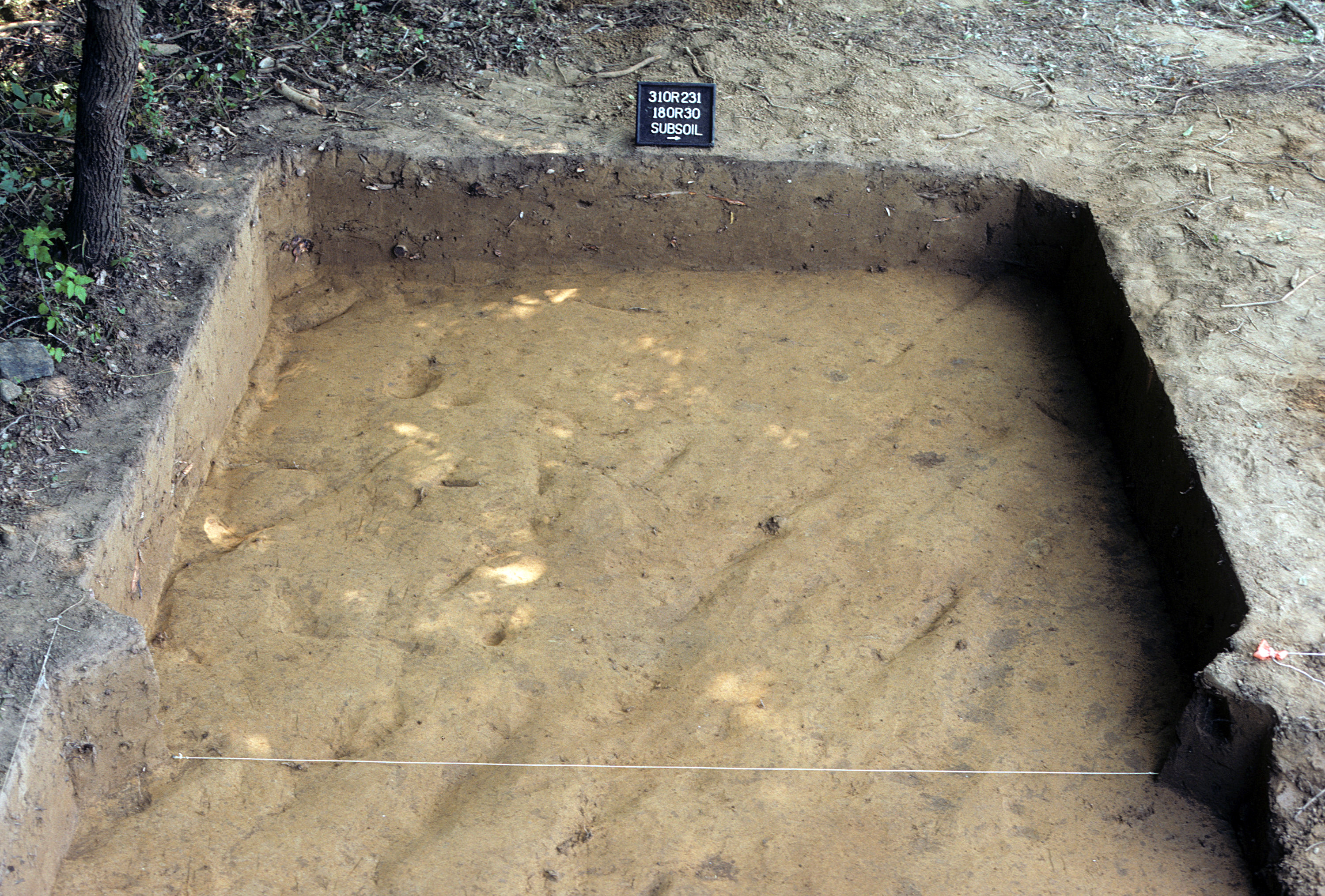
Figure 717. Sq. 180R30 at top of subsoil (view to west).
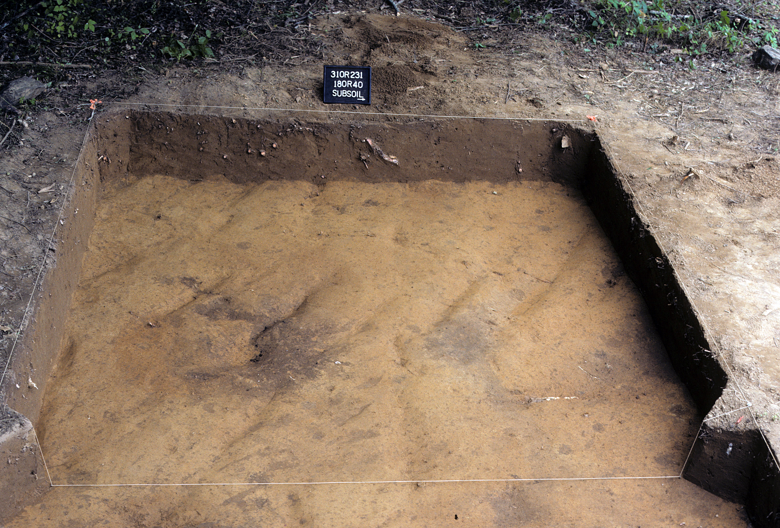
Figure 718. Sq. 180R40 at top of subsoil (view to west).
Figure 719. Sq. 180R40, top of subsoil (view to north).
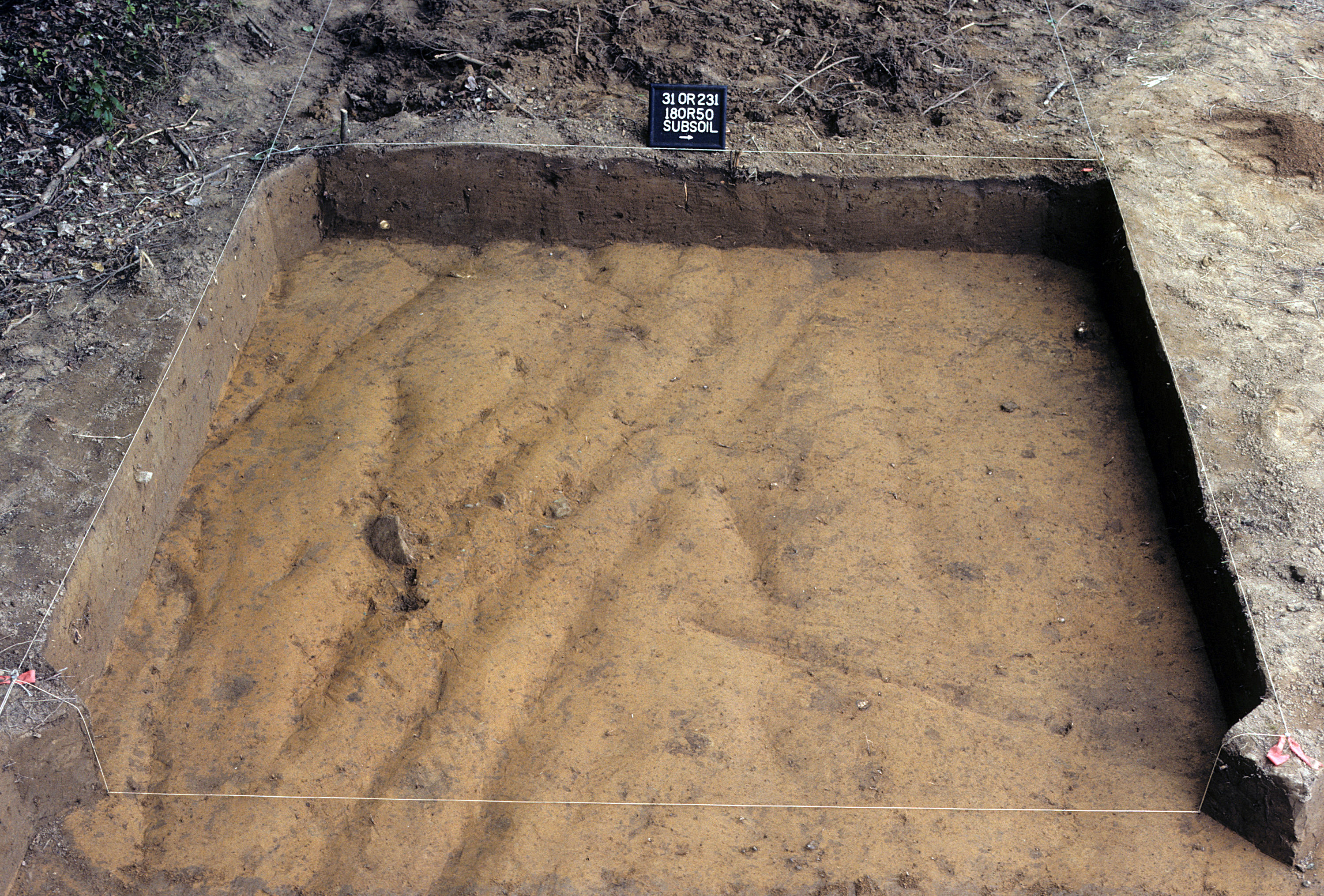
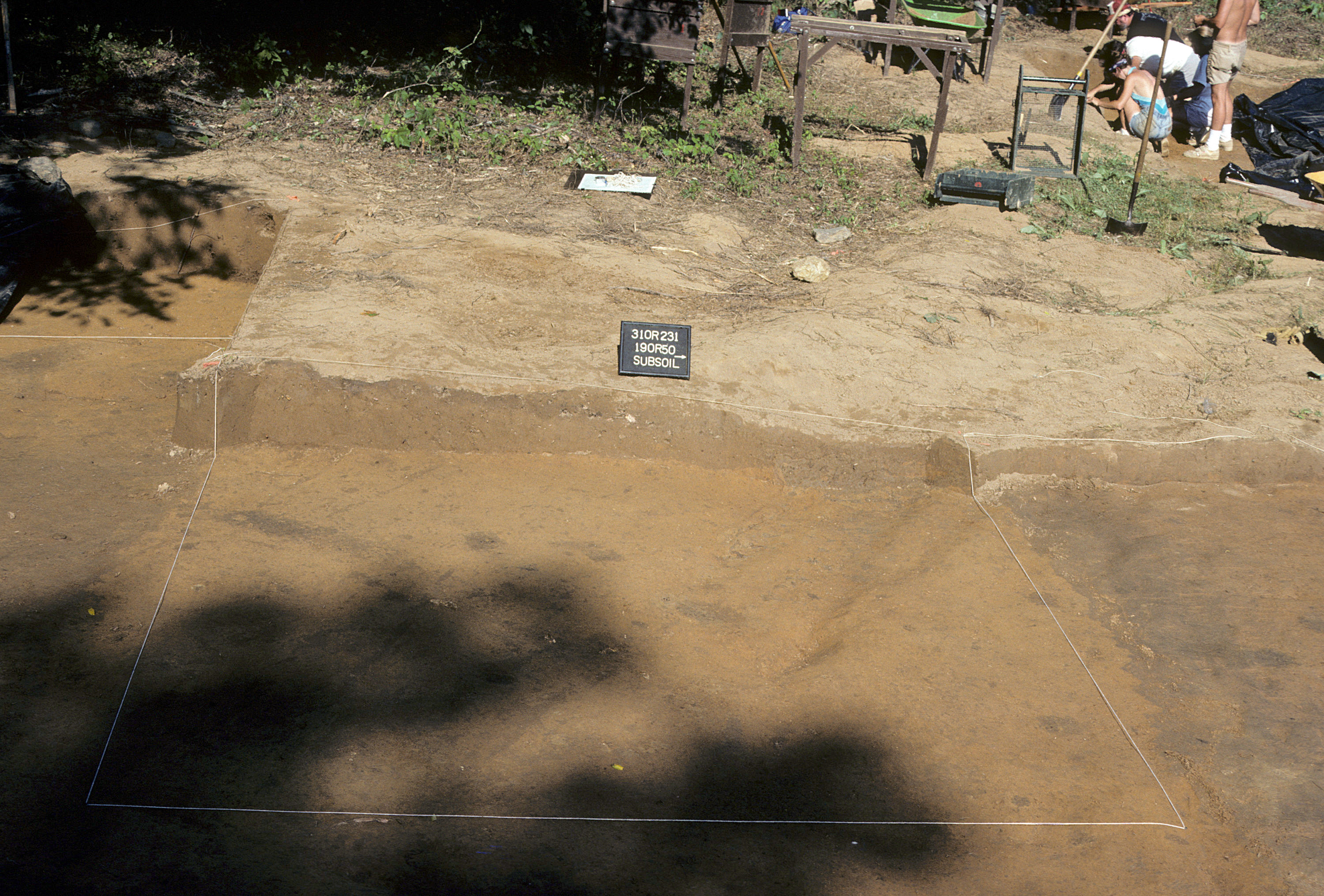
Figure 720. Sq. 180R50 at top of subsoil (view to west).
Figure 721. Sq. 180R50, top of subsoil (view to north).
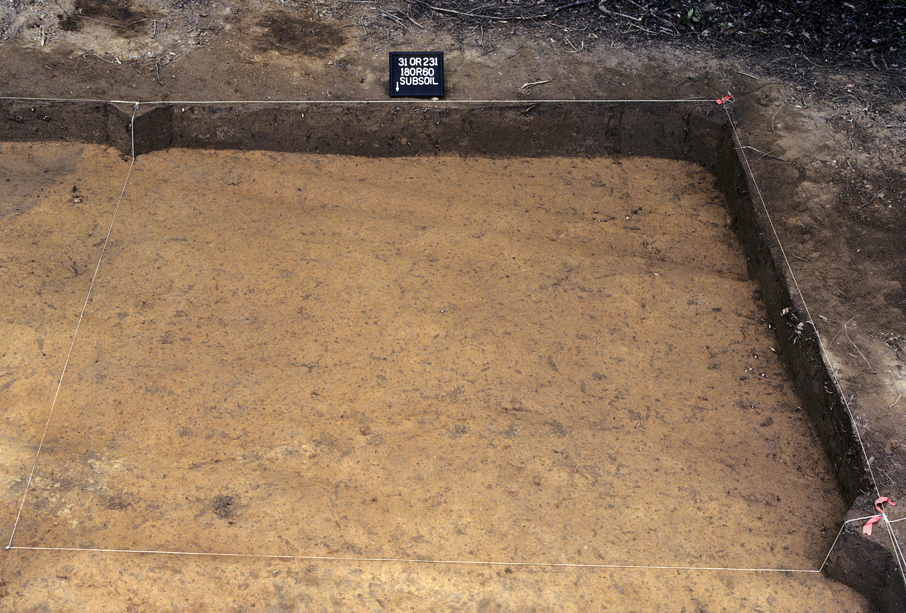
Figure 722. Sq. 180R60 at top of subsoil (view to south).
Figure 723. Sq. 180R60, top of subsoil (view to north).
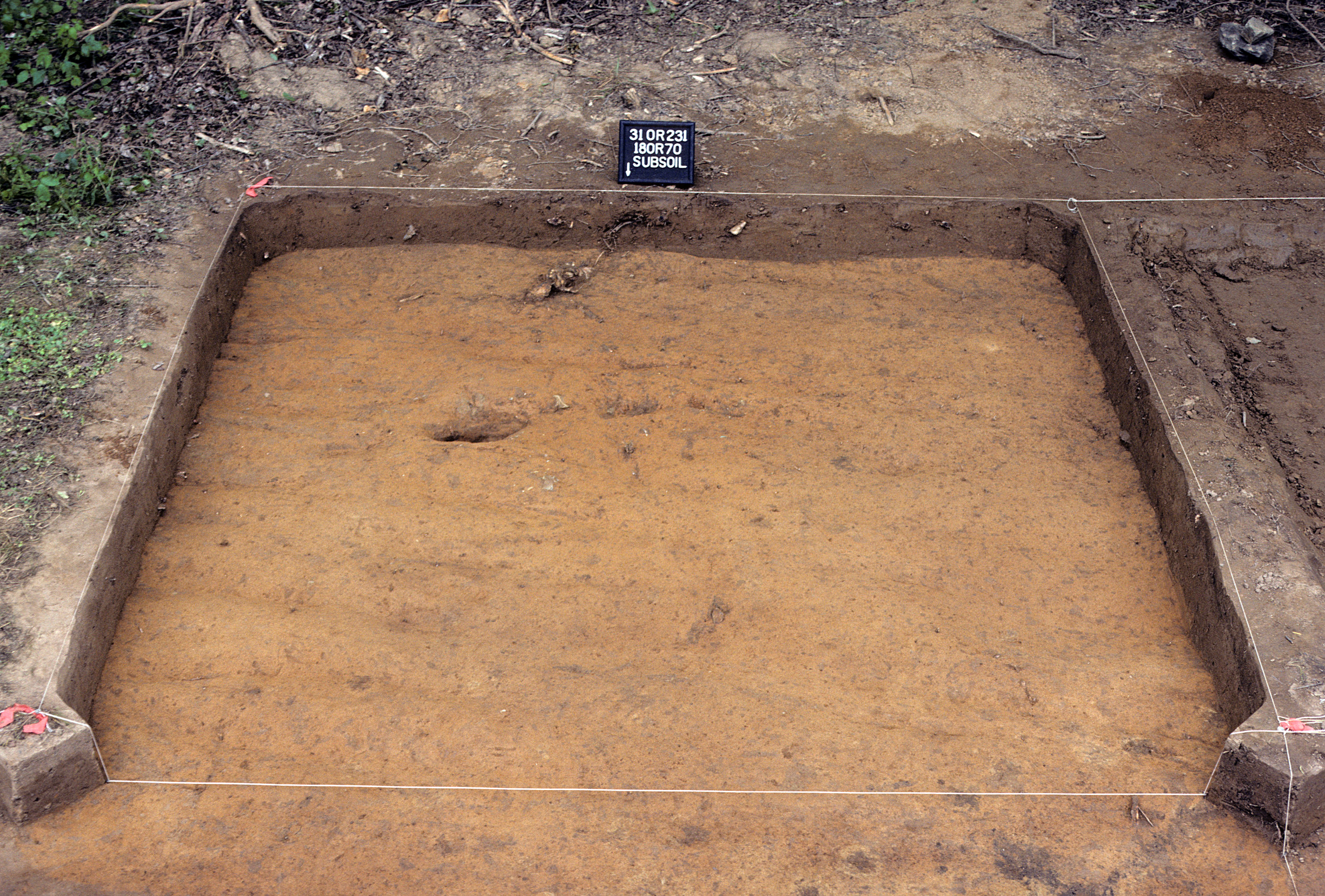
Figure 724. Sq. 180R70 at top of subsoil (view to south).
Figure 725. Sq. 180R70, top of subsoil (view to north).
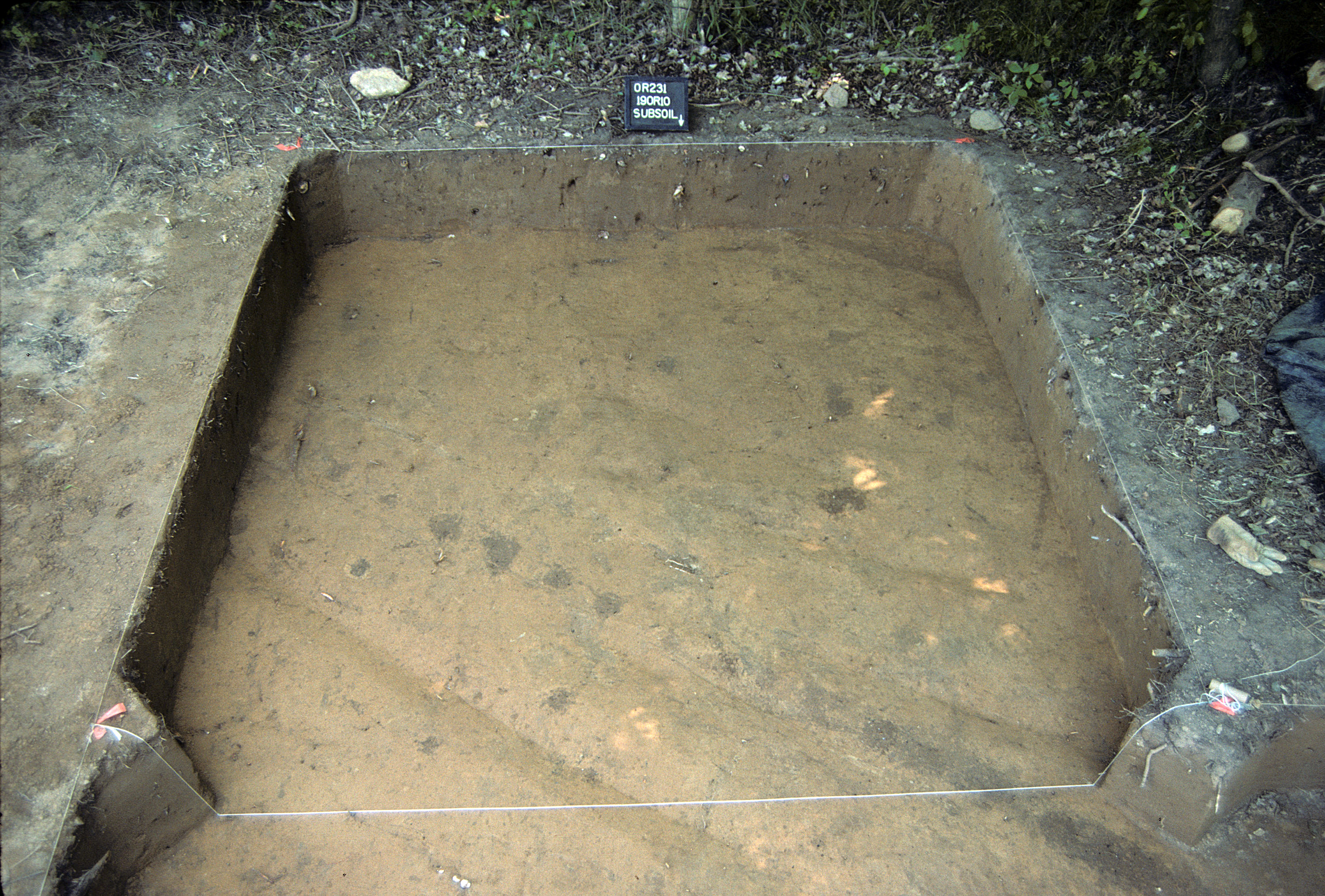
Figure 726. Sq. 190R10 at top of subsoil (view to south).
Figure 727. Sq. 190R10, top of subsoil (view to north).
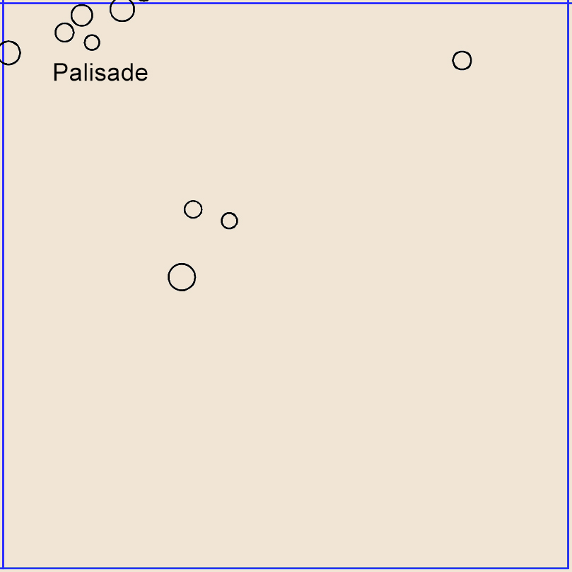
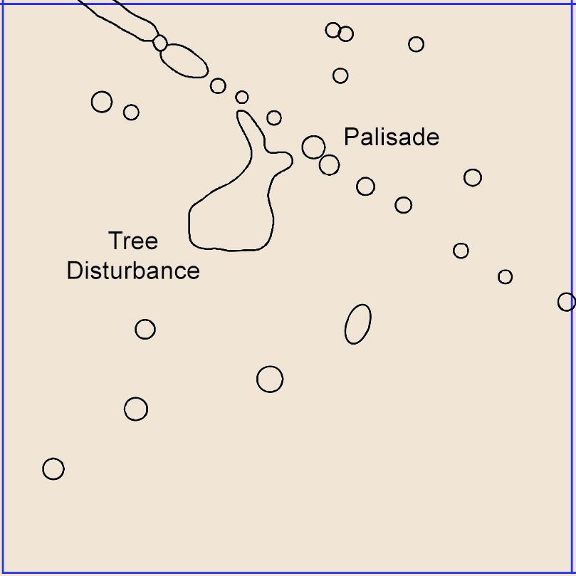
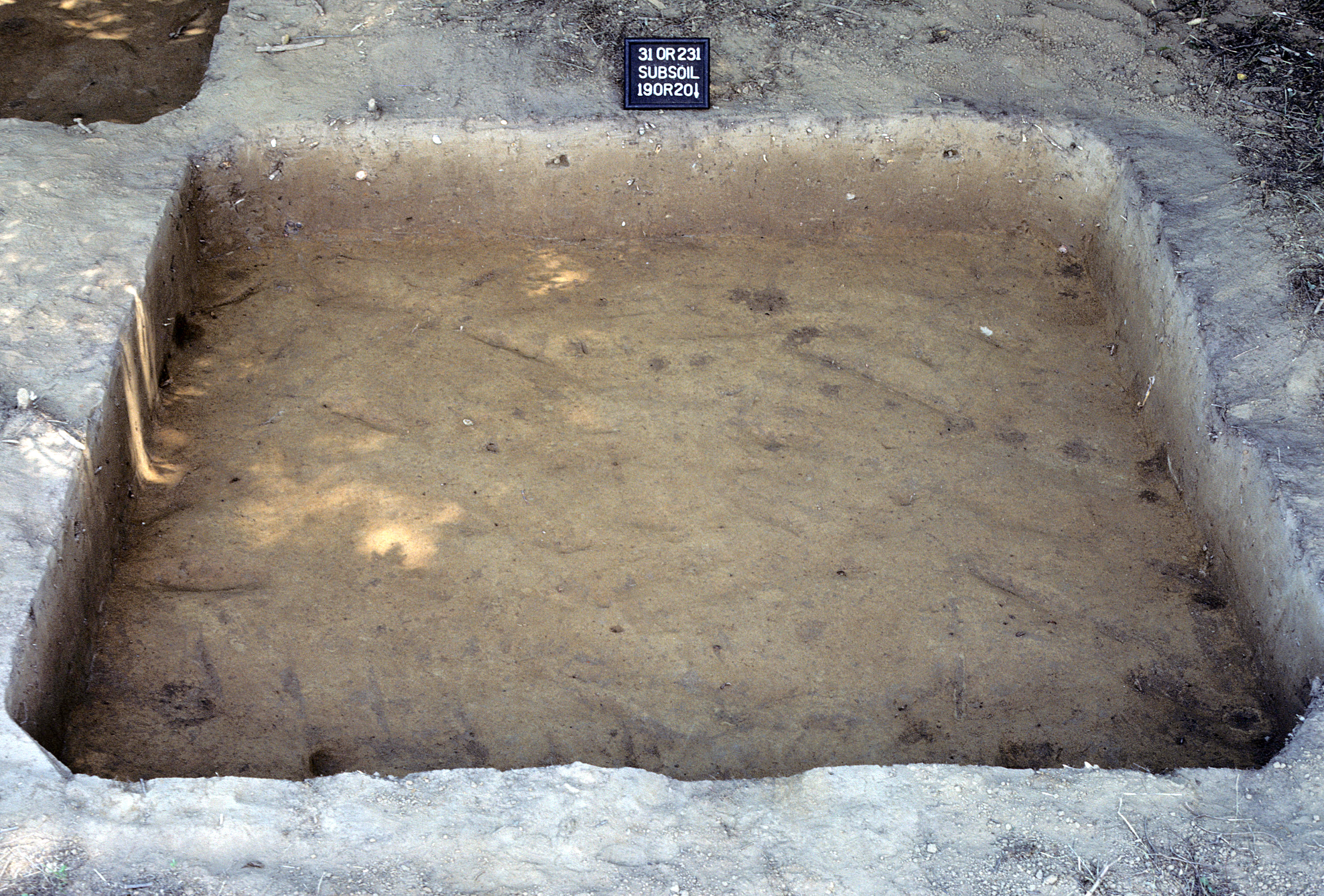
Figure 728. Sq. 190R20 at top of subsoil (view to south).
Figure 729. Sq. 190R20, top of subsoil (view to north).
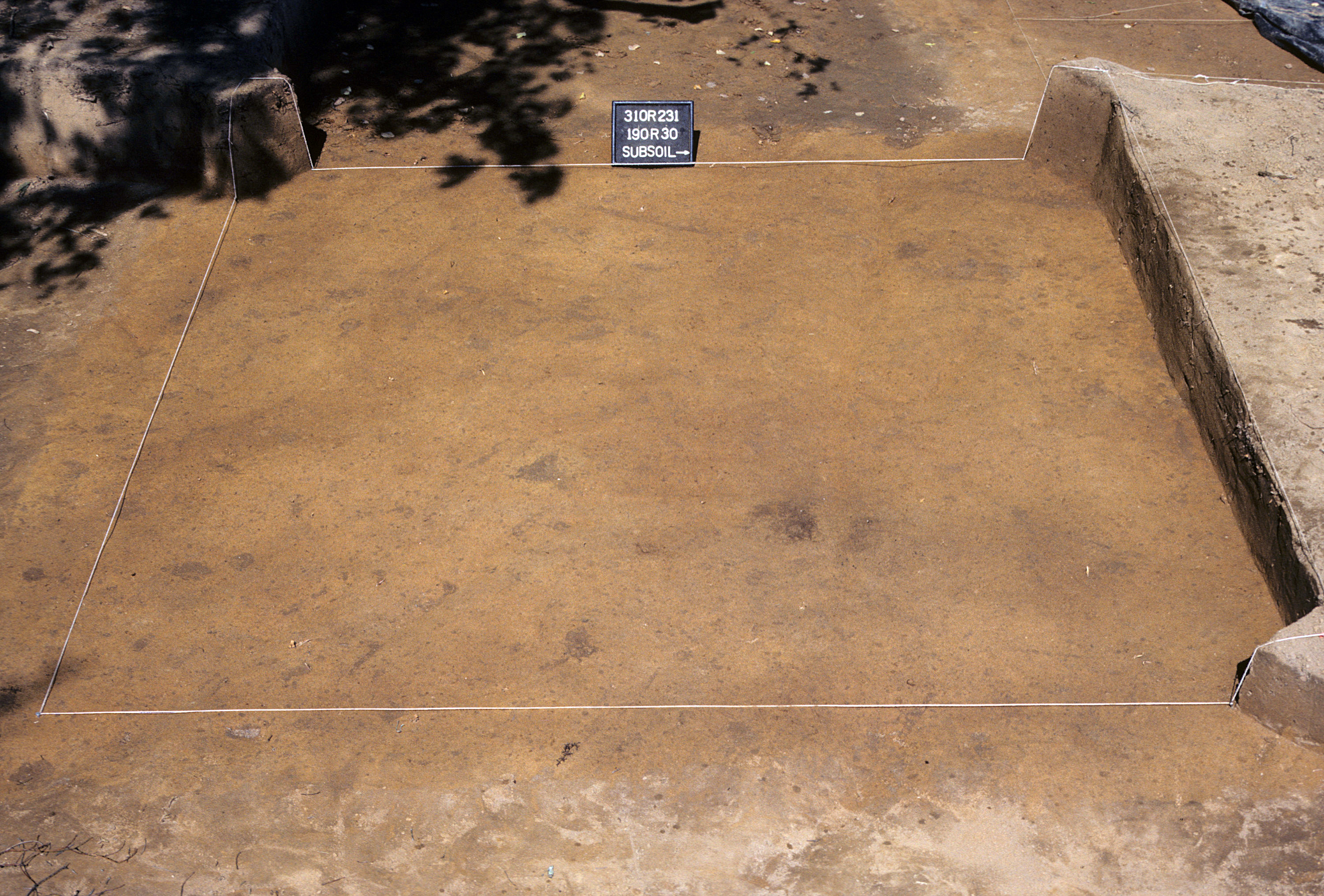
Figure 730. Sq. 190R30 at top of subsoil (view to west).
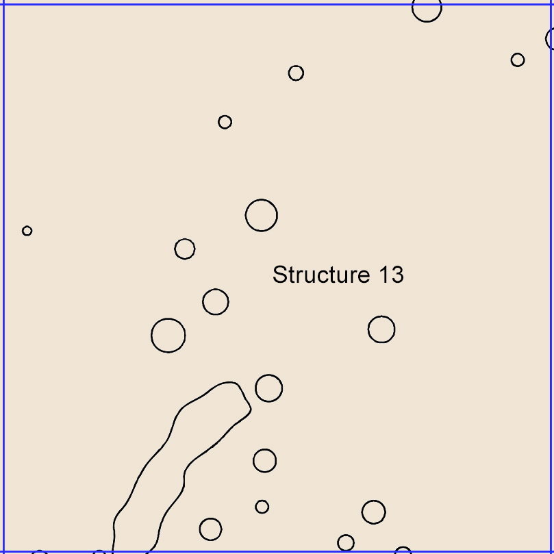
Figure 731. Sq. 190R30, top of subsoil (view to north).
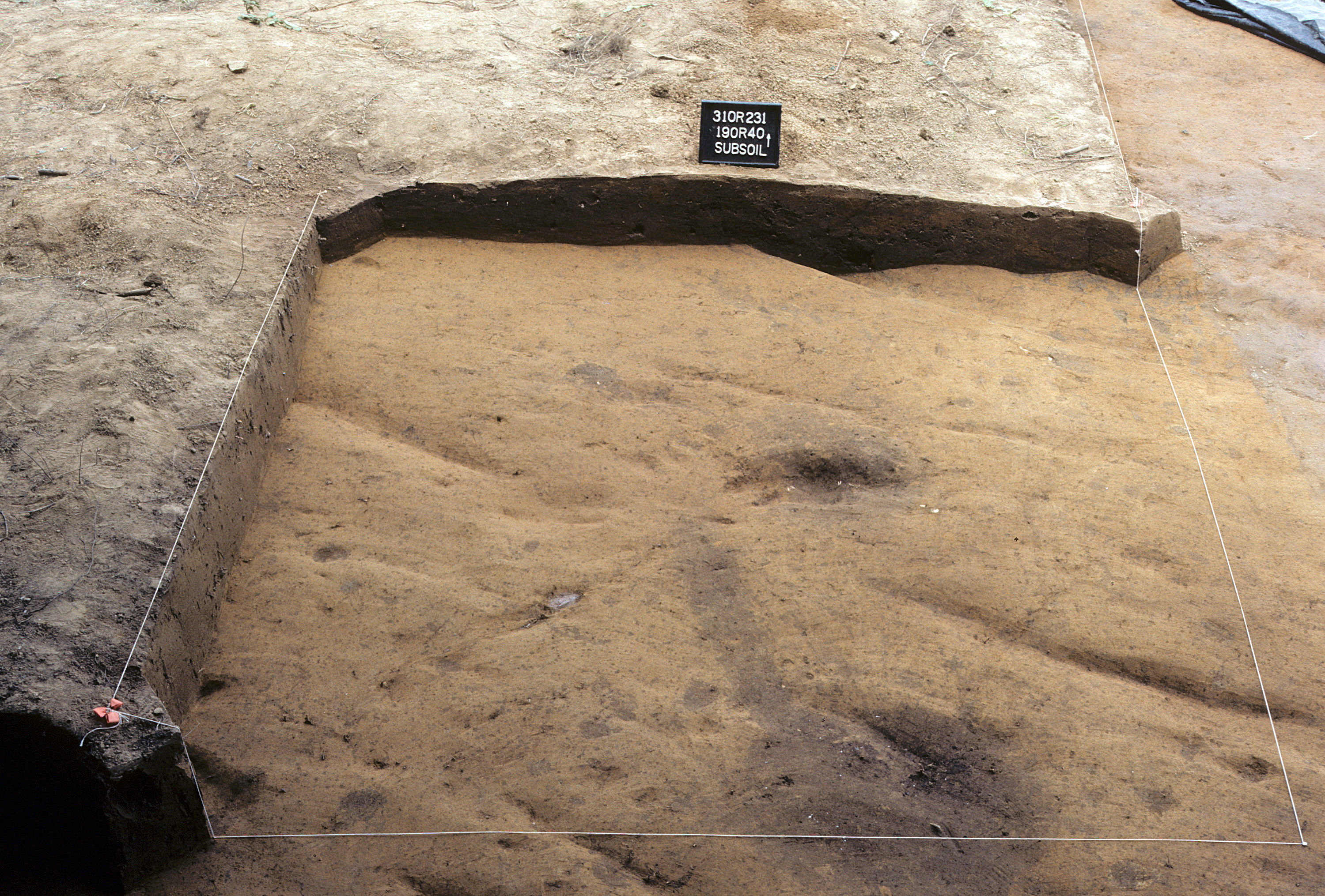
Figure 732. Sq. 190R40 at top of subsoil (view to north).
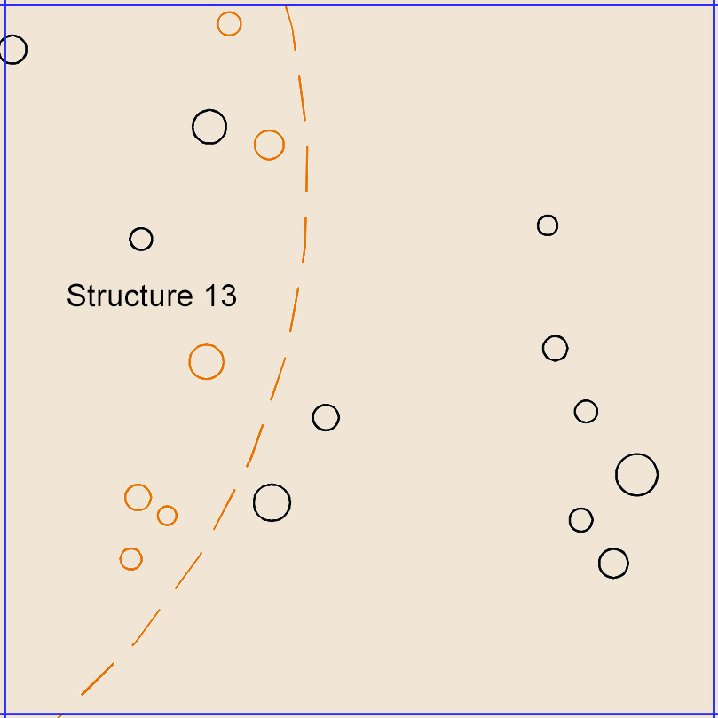
Figure 733. Sq. 190R40, top of subsoil (view to north).
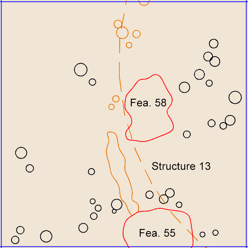
Figure 734. Sq. 190R50 at top of subsoil (view to west).
Figure 735. Sq. 190R50, top of subsoil (view to north).
Figure 736. Sq. 190R60 at top of subsoil (view to west).
Figure 737. Sq. 190R60, top of subsoil (view to north).
Figure 738. Sq. 190R70 at top of subsoil (view to south).
Figure 739. Sq. 190R70, top of subsoil (view to north).
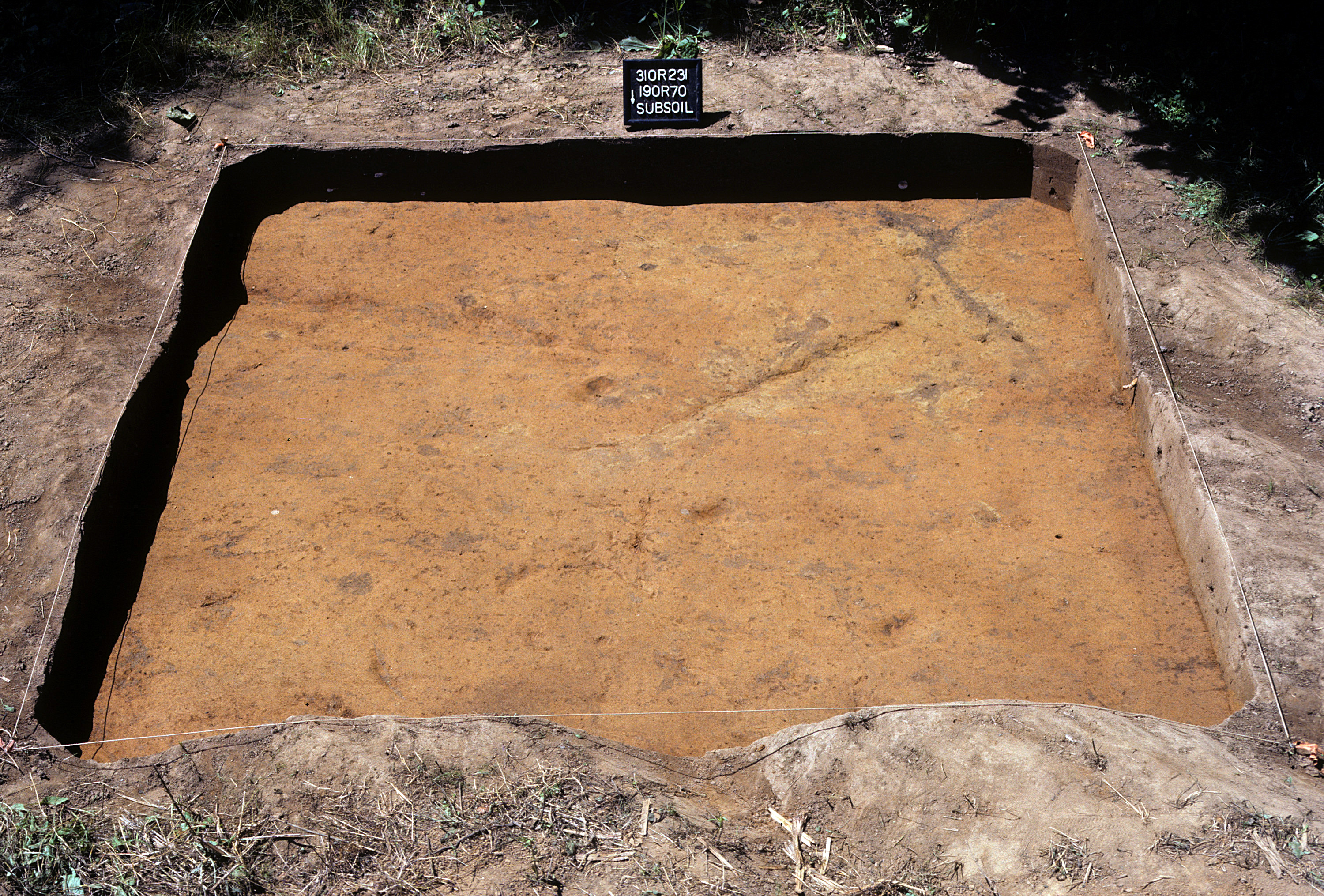
Figure 740. Sq. 190R80 at top of subsoil (view to east).
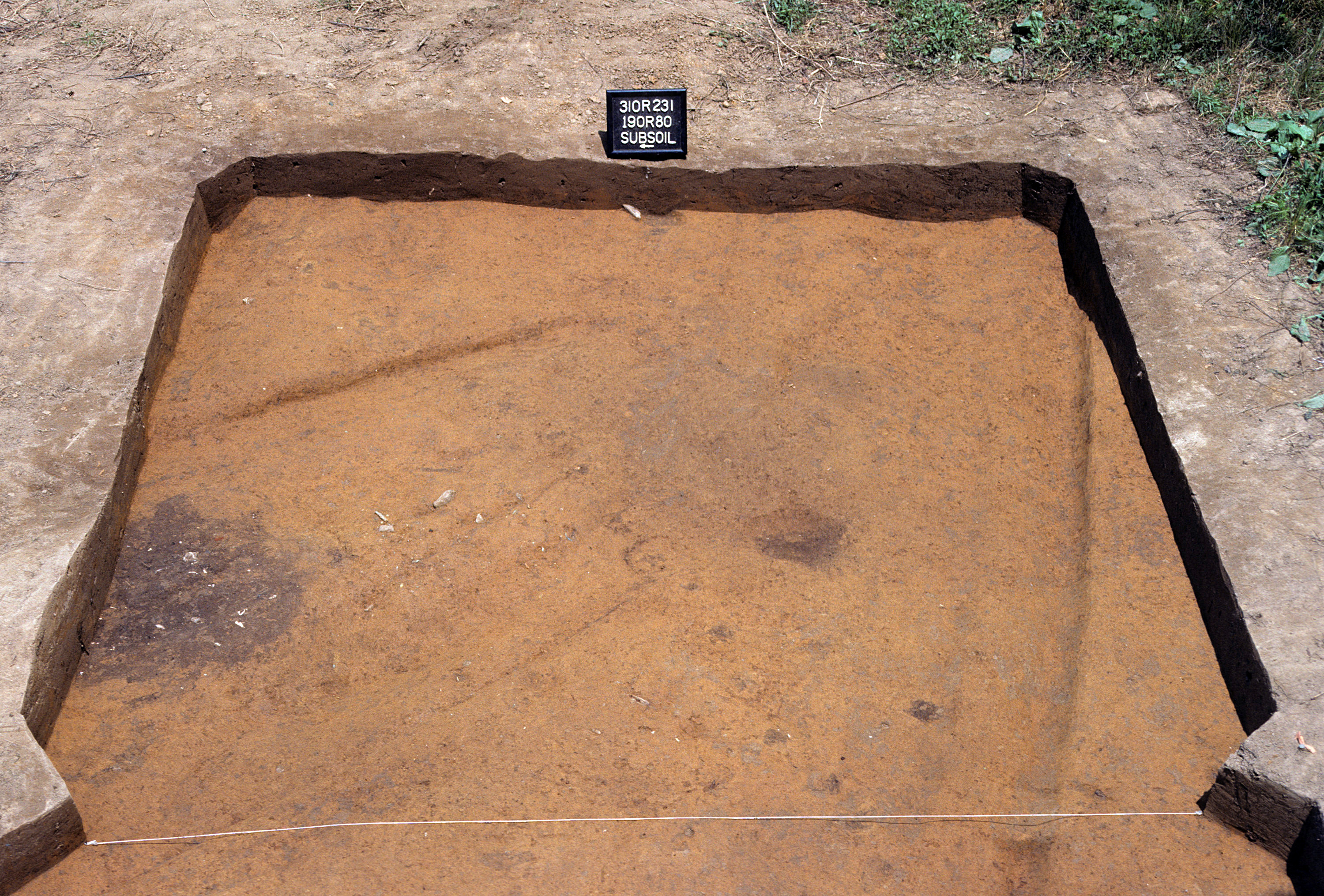
Figure 741. Sq. 190R80, top of subsoil (view to north).
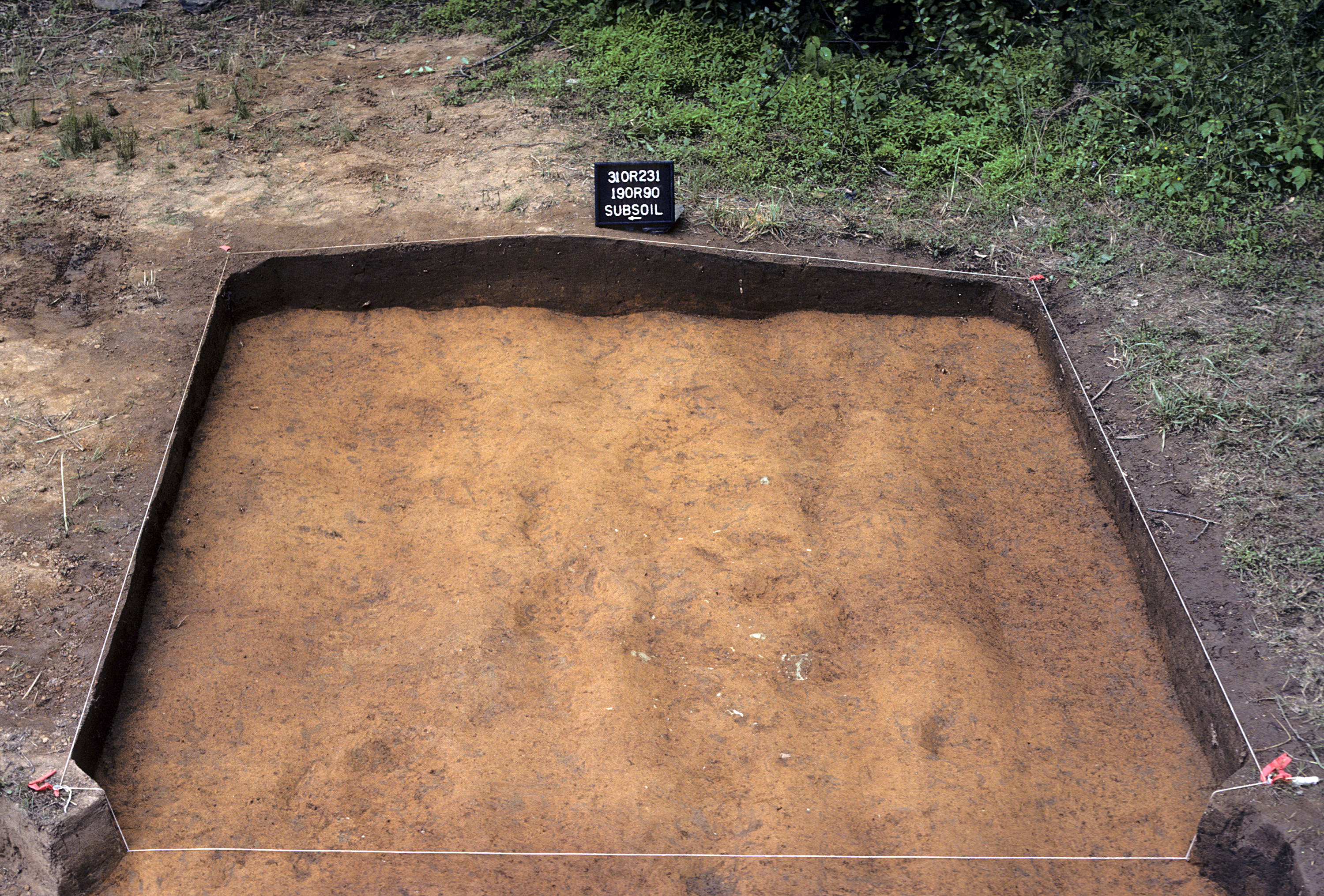
Figure 742. Sq. 190R90 at top of subsoil (view to east).
Figure 743. Sq. 190R90, top of subsoil (view to north).
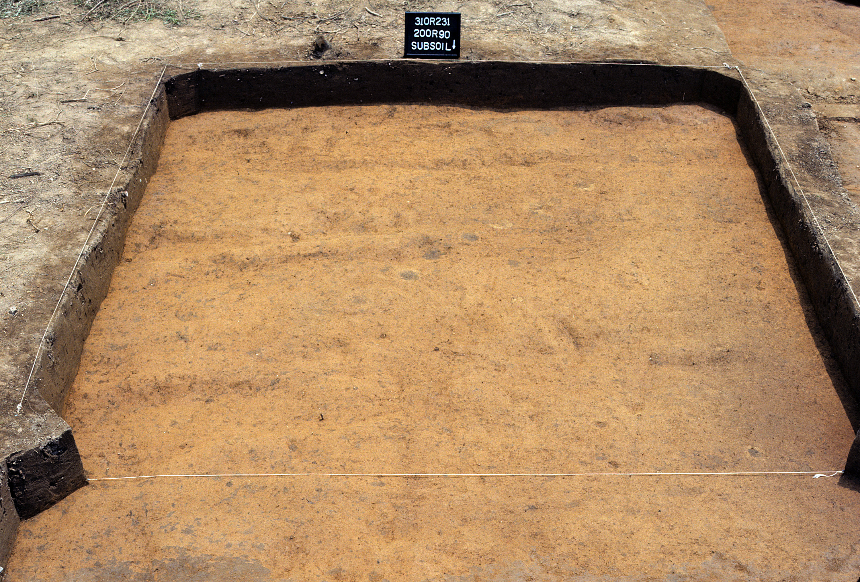
Figure 744. Sq. 200R0 at top of subsoil (view to west).
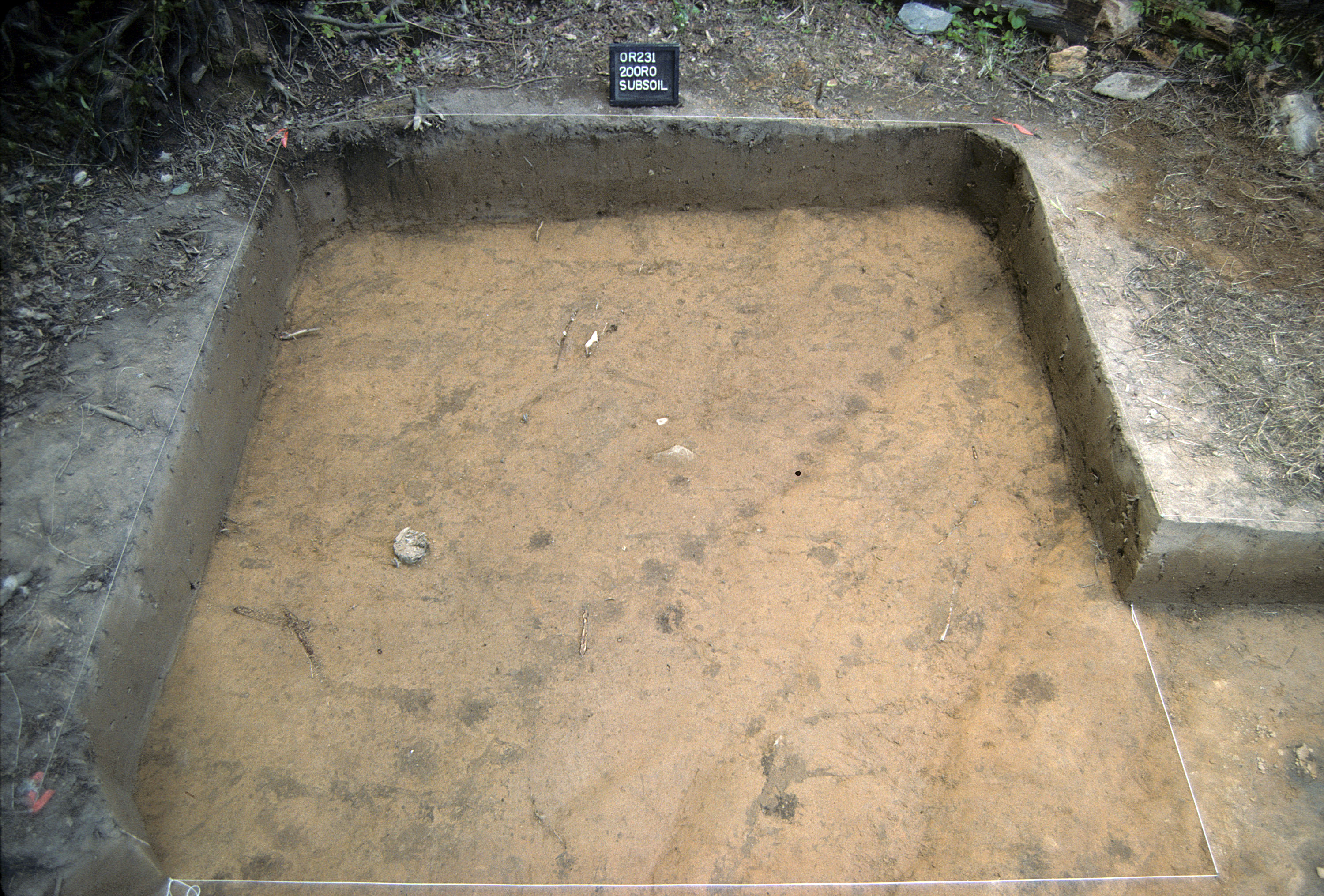
Figure 745. Sq. 200R0, top of subsoil (view to north).
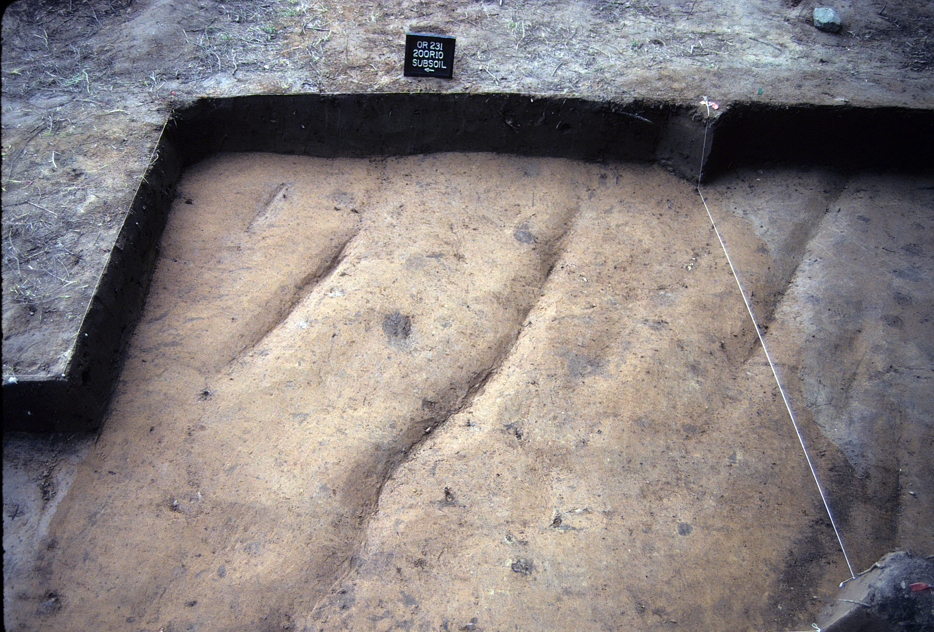
Figure 746. Sq. 200R10 at top of subsoil (view to east).
Figure 747. Sq. 200R10, top of subsoil (view to north).
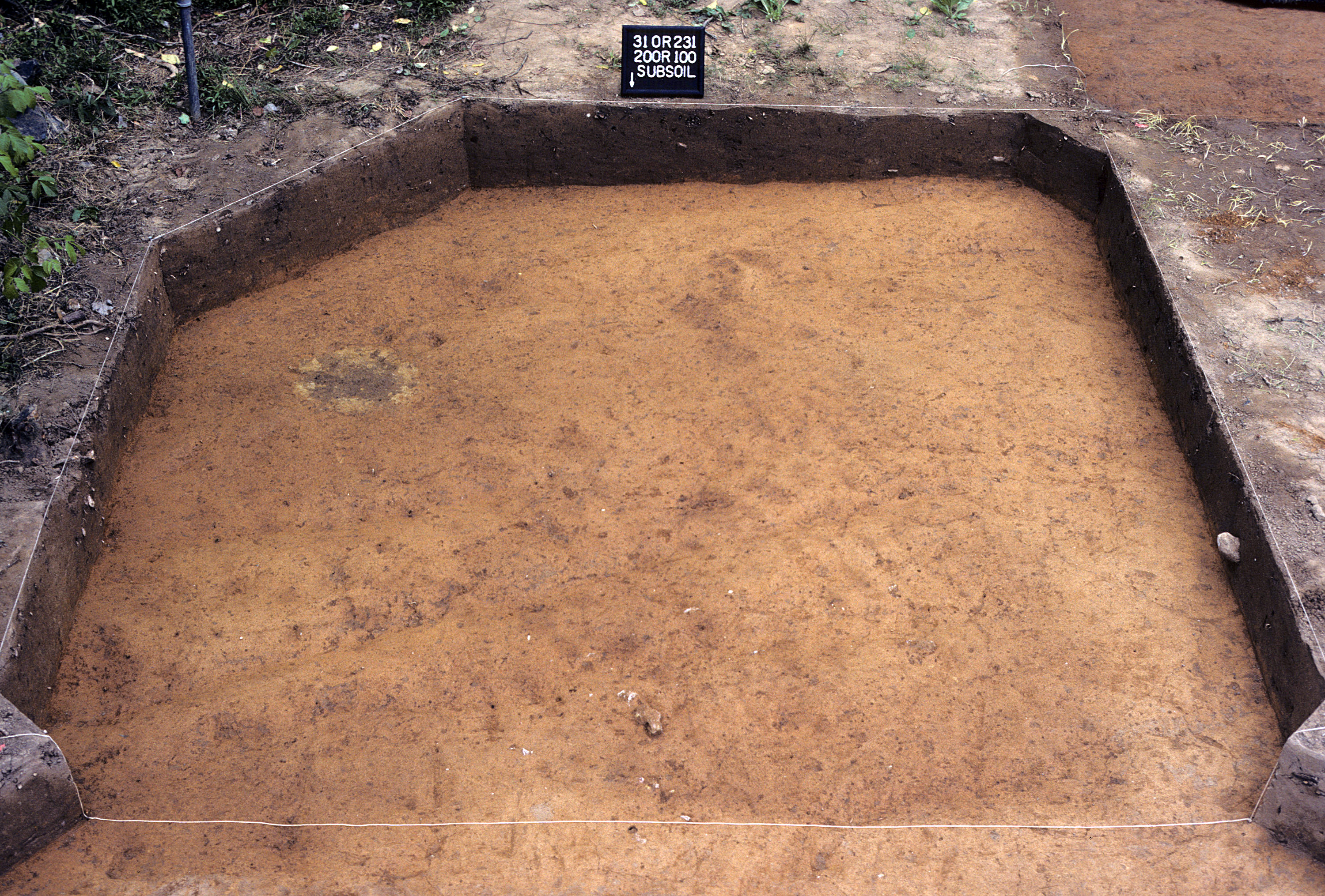
Figure 748. Sq. 200R100 at top of subsoil (view to south).
Figure 749. Sq. 200R100, top of subsoil (view to north).
Figure 750. Sq. 200R20 at top of subsoil (view to south).
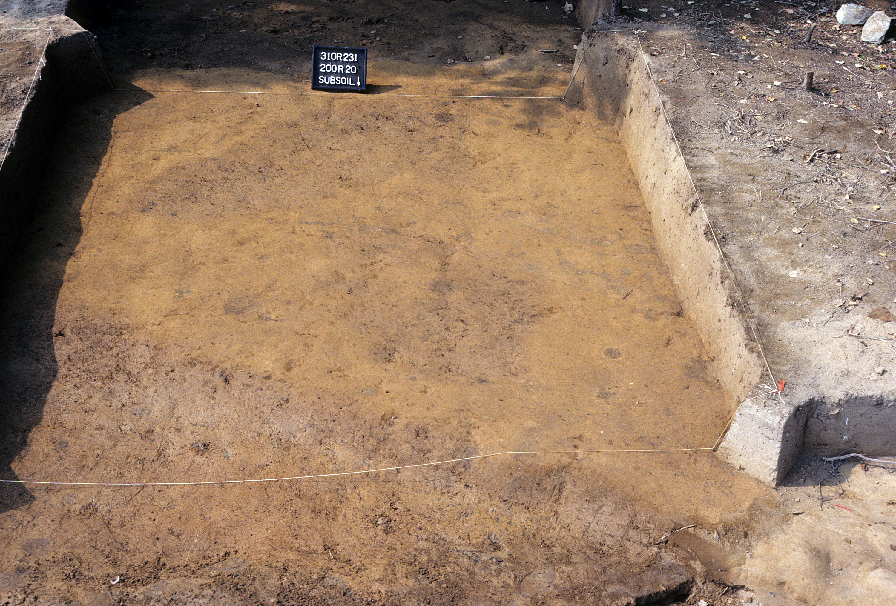
Figure 751. Sq. 200R20, top of subsoil (view to north).
Figure 752. Sq. 200R30 at top of subsoil (view to south).
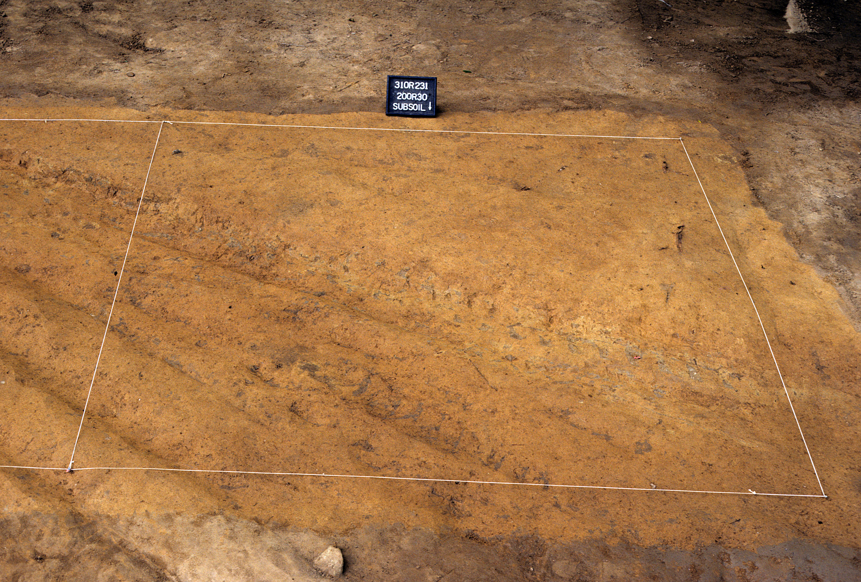
Figure 753. Sq. 200R30, top of subsoil (view to north).
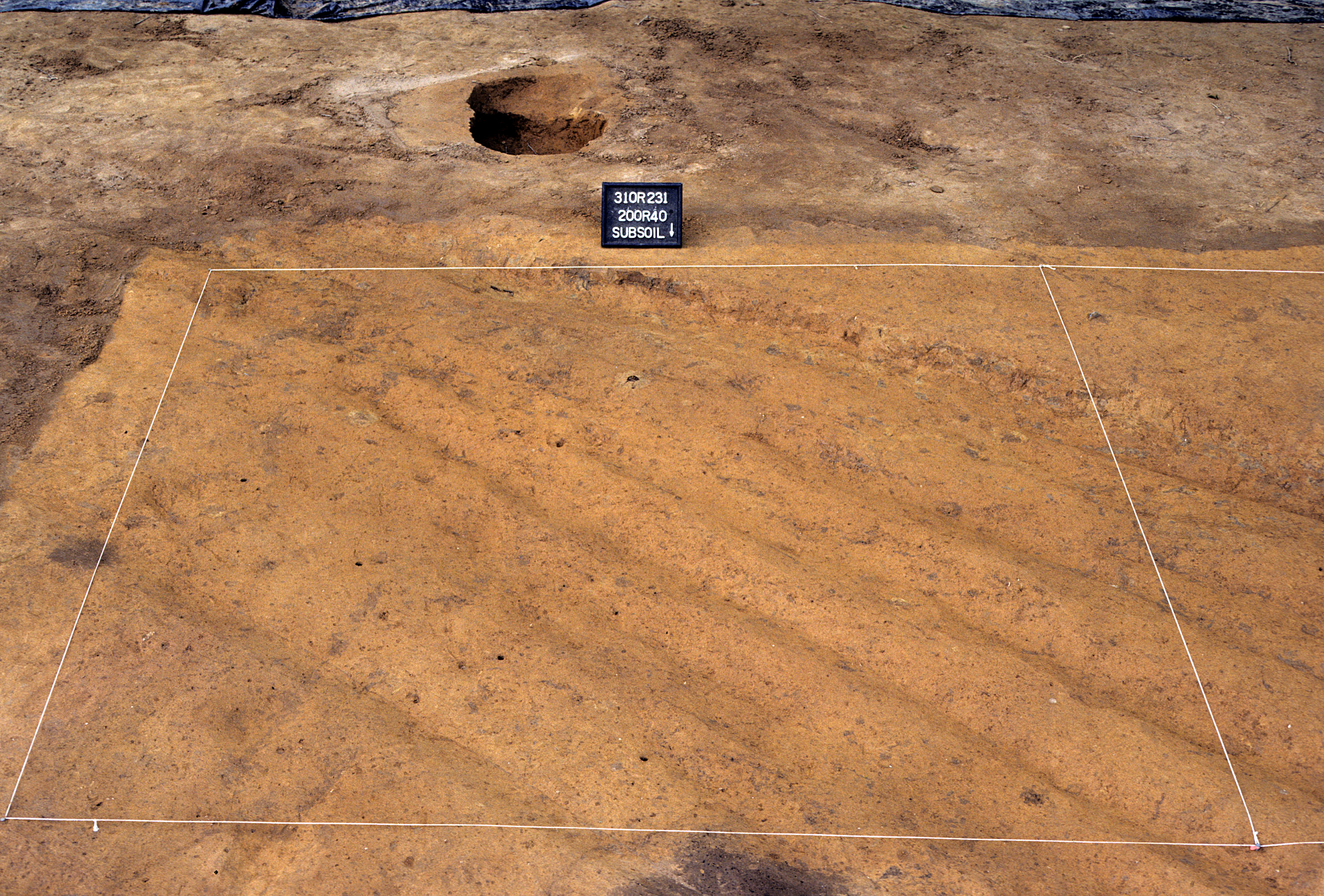
Figure 754. Sq. 200R40 at top of subsoil (view to south).
Figure 755. Sq. 200R40, top of subsoil (view to north).
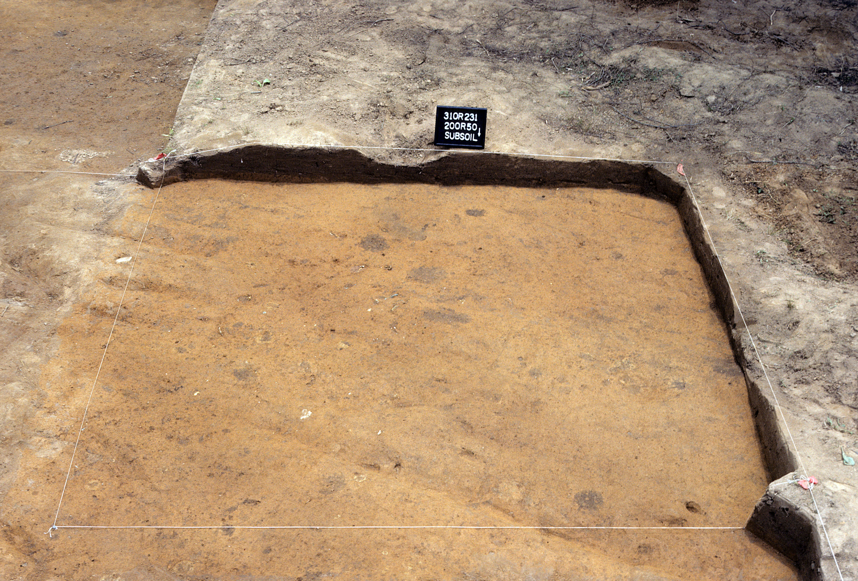
Figure 756. Sq. 200R50 at top of subsoil (view to south).
Figure 757. Sq. 200R50, top of subsoil (view to north).
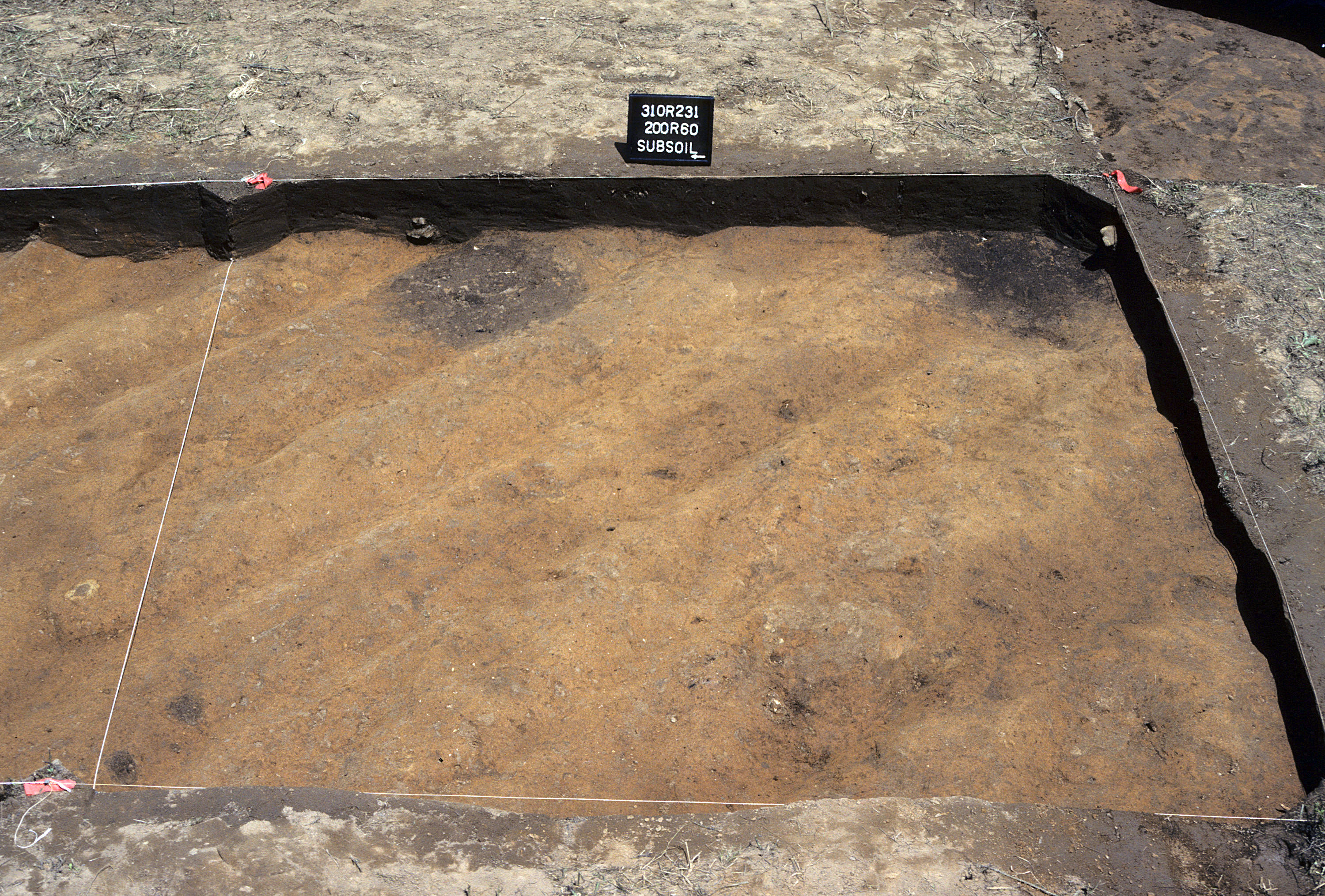
Figure 758. Sq. 200R60 at top of subsoil (view to east).
Figure 759. Sq. 200R60, top of subsoil (view to north).
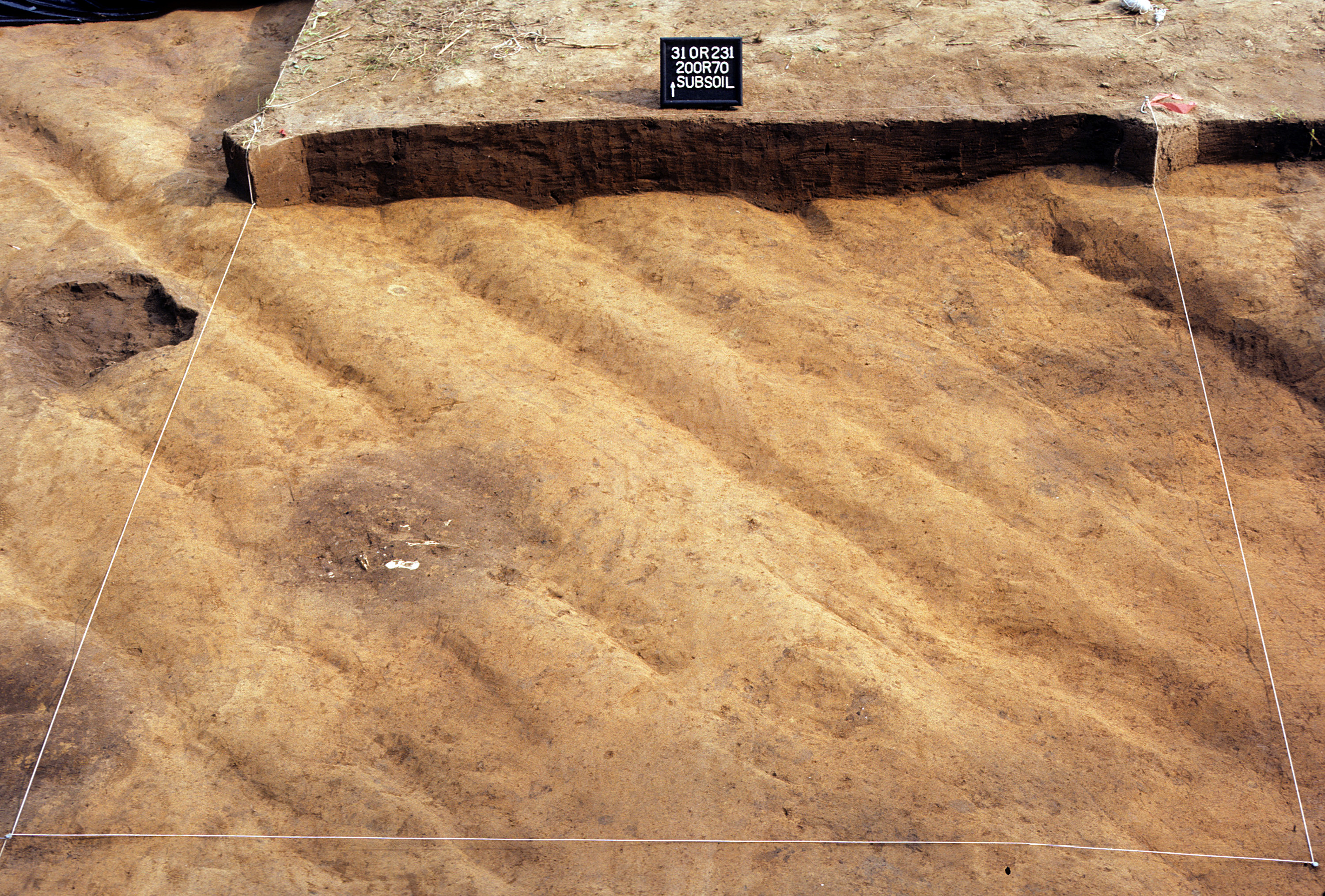
Figure 760. Sq. 200R70 at top of subsoil (view to north).
Figure 761. Sq. 200R70, top of subsoil (view to north).
Figure 762. Sq. 200R80 at top of subsoil (view to north).
Figure 763. Sq. 200R80, top of subsoil (view to north).
Figure 764. Sq. 200R90 at top of subsoil (view to south).
Figure 765. Sq. 200R90, top of subsoil (view to north).
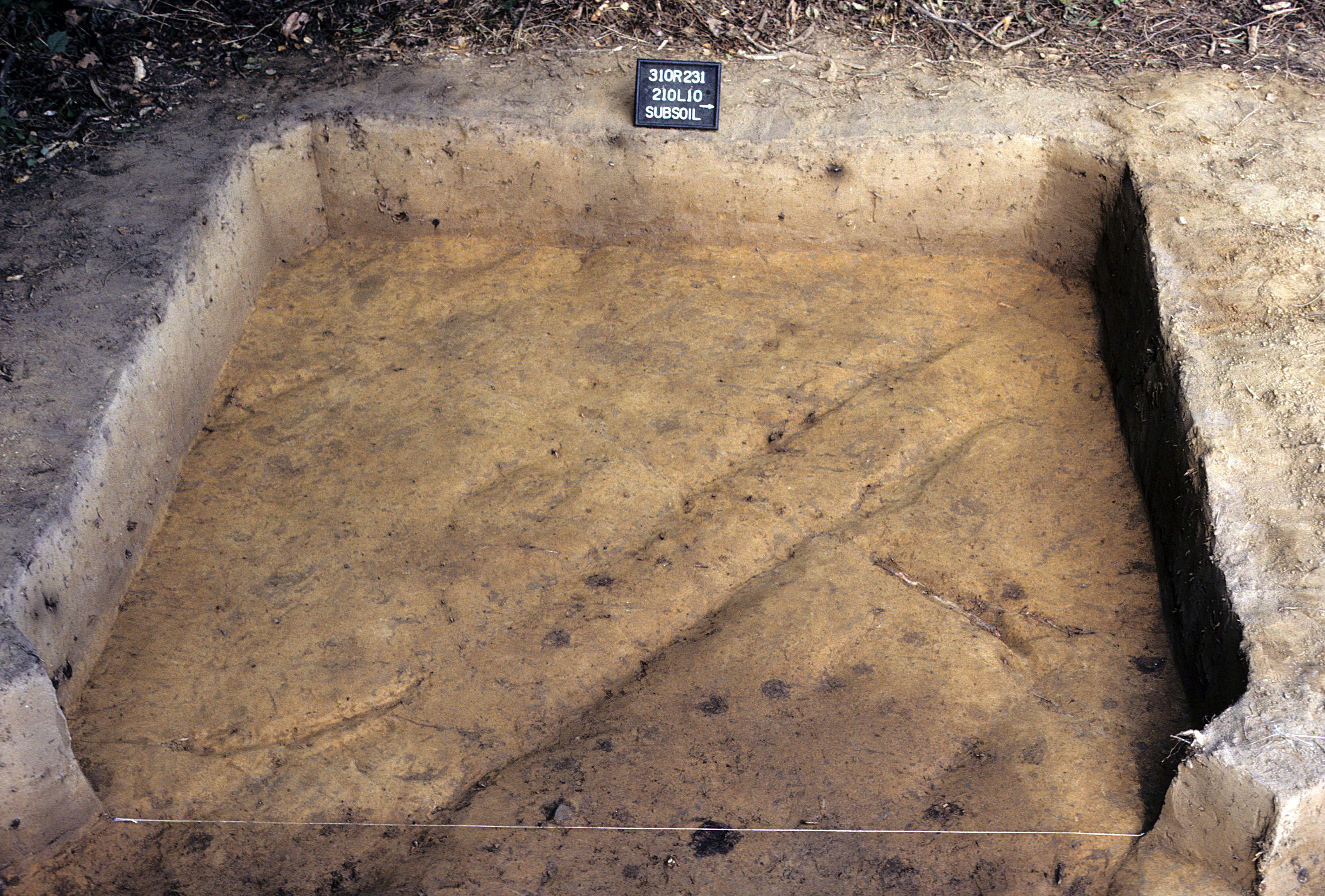
Figure 766. Sq. 210L10 at top of subsoil (view to west).
Figure 767. Sq. 210L10, top of subsoil (view to north).
Figure 768. Sq. 210R0 at top of subsoil (view to west).
Figure 769. Sq. 210R0, top of subsoil (view to north).
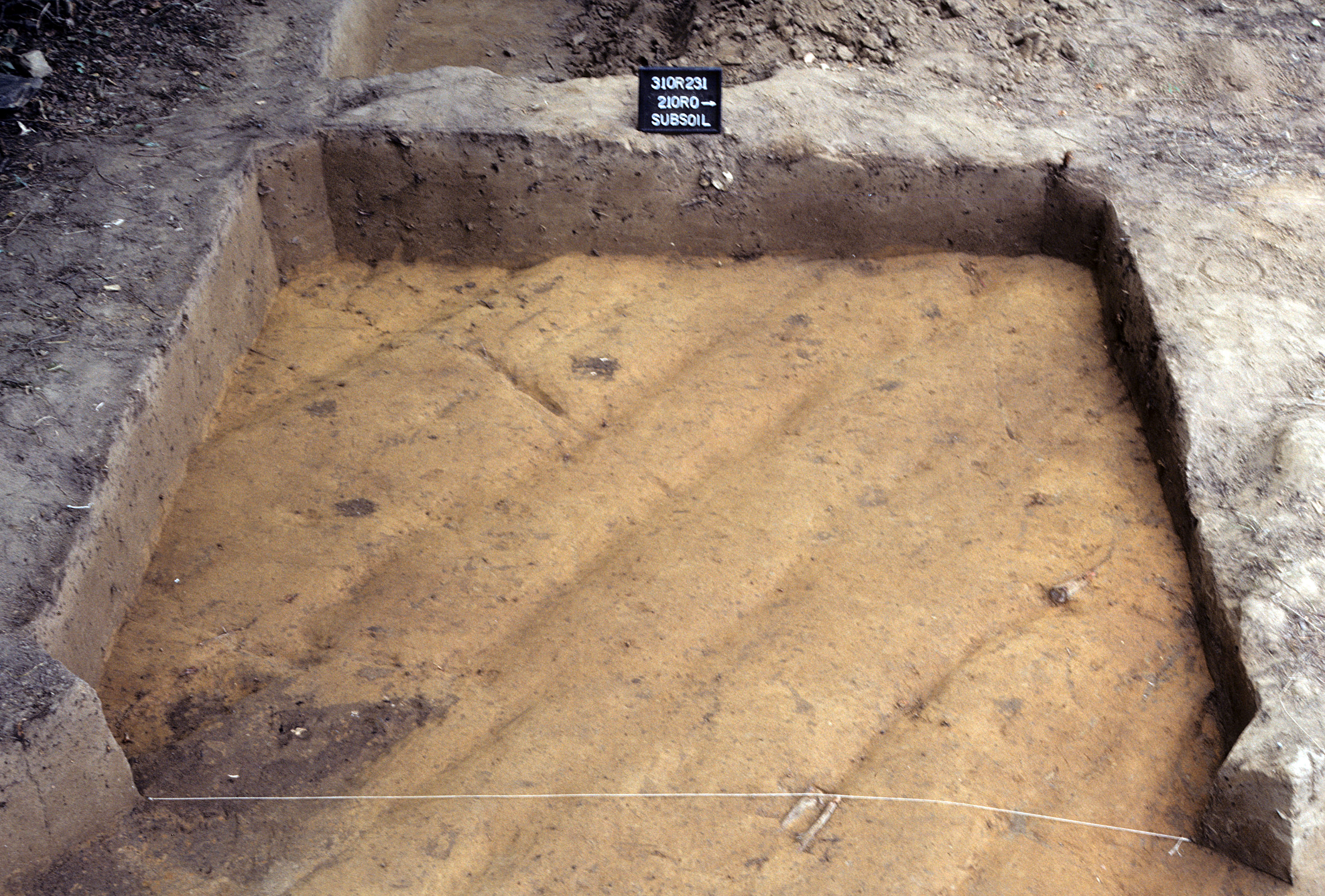
Figure 770. Sq. 210R10 at top of subsoil (view to south).